
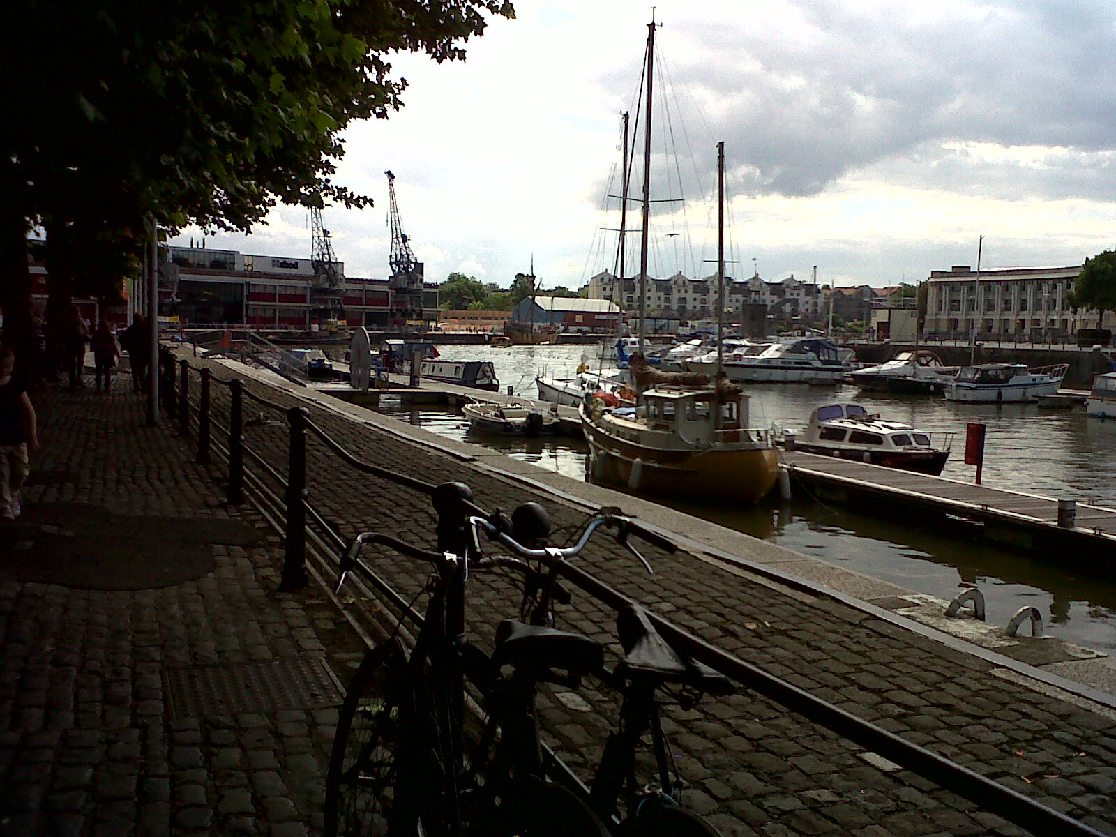
EPW033506 ENGLAND (1930). Canon's Marsh and environs, Bristol, 1930

© Hawlfraint cyfranwyr OpenStreetMap a thrwyddedwyd gan yr OpenStreetMap Foundation. 2026. Trwyddedir y gartograffeg fel CC BY-SA.
Delweddau cyfagos (30)
EPW033506

EPW041479

EPW033504

EAW002053

EAW002052

EAW002049

EAW209373

EPW005444

EPW005442

EPR000106

EPW005435

EPW010234

EPW005440

EPW005445

EPW033502

EPW005443

EPW005433

EPW008828

EPW005434

EPW005438

EPW005436

EPW005437

EAW002045

EAW002044

EPW005462

EPW005472

EAW586137

EPW005473

EAW002262

EPW033503

Manylion
| Pennawd | [EPW033506] Canon's Marsh and environs, Bristol, 1930 |
| Cyfeirnod | EPW033506 |
| Dyddiad | July-1930 |
| Dolen | |
| Enw lle | BRISTOL |
| Plwyf | |
| Ardal | |
| Gwlad | ENGLAND |
| Dwyreiniad / Gogleddiad | 358494, 172432 |
| Hydred / Lledred | -2.5973509175562, 51.448861866654 |
| Cyfeirnod Grid Cenedlaethol | ST585724 |
Pinnau

Class31 |
Thursday 20th of February 2014 08:03:50 PM | |

MB |
Sunday 15th of December 2013 11:57:18 AM | |
|
MB |
Sunday 15th of December 2013 11:55:35 AM | |
|
MB |
Sunday 15th of December 2013 11:53:47 AM | |
|
MB |
Sunday 15th of December 2013 11:53:10 AM | |
|
MB |
Sunday 15th of December 2013 11:52:06 AM | |
|
MB |
Sunday 15th of December 2013 11:49:11 AM | |
|
MB |
Sunday 15th of December 2013 11:44:33 AM | |
|
MB |
Sunday 15th of December 2013 11:40:51 AM | |
|
MB |
Sunday 15th of December 2013 11:40:13 AM | |
|
MB |
Sunday 15th of December 2013 11:37:34 AM | |
|
MB |
Sunday 15th of December 2013 11:36:19 AM | |
|
MB |
Sunday 15th of December 2013 11:35:19 AM | |
|
MB |
Sunday 15th of December 2013 11:32:36 AM | |
|
Class31 |
Wednesday 7th of August 2013 12:12:40 PM | |
 |
Class31 |
Wednesday 7th of August 2013 12:07:48 PM |
 |
Class31 |
Friday 21st of June 2013 07:21:13 AM |
|
Class31 |
Monday 10th of June 2013 12:57:36 PM | |
|
Class31 |
Wednesday 6th of February 2013 03:23:47 PM | |
|
Class31 |
Wednesday 6th of February 2013 03:22:42 PM | |
|
Class31 |
Wednesday 6th of February 2013 03:22:24 PM | |
|
Class31 |
Wednesday 6th of February 2013 03:22:04 PM | |
|
Class31 |
Wednesday 6th of February 2013 03:21:18 PM | |
|
Class31 |
Wednesday 6th of February 2013 03:20:43 PM | |
|
Class31 |
Wednesday 6th of February 2013 03:20:18 PM |


Cyfraniadau Grŵp
Looking south towards the M Shed. 06/08/13 |
Class31 |
Wednesday 7th of August 2013 12:03:39 PM |