
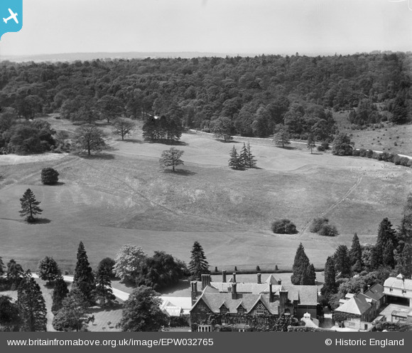
EPW032765 ENGLAND (1930). Nyn Park and Well Wood, Northaw, 1930
© Hawlfraint cyfranwyr OpenStreetMap a thrwyddedwyd gan yr OpenStreetMap Foundation. 2026. Trwyddedir y gartograffeg fel CC BY-SA.
Delweddau cyfagos (10)
EPW032765

EPW032270

EPW032263

EPW032266

EPW032769

EPW032262

EPW032268

EPW032264

EPW032260

EPW032273

Manylion
| Pennawd | [EPW032765] Nyn Park and Well Wood, Northaw, 1930 |
| Cyfeirnod | EPW032765 |
| Dyddiad | June-1930 |
| Dolen | |
| Enw lle | NORTHAW |
| Plwyf | NORTHAW AND CUFFLEY |
| Ardal | |
| Gwlad | ENGLAND |
| Dwyreiniad / Gogleddiad | 527598, 203115 |
| Hydred / Lledred | -0.15292603110792, 51.71177790025 |
| Cyfeirnod Grid Cenedlaethol | TL276031 |
Pinnau

totoro |
Friday 12th of May 2017 10:18:27 PM |