
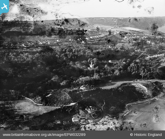
EPW032289 ENGLAND (1930). Steephill, Steephill Castle and Rew Down, Ventnor, from the south, 1930. This image has been produced from a damaged negative.
© Hawlfraint cyfranwyr OpenStreetMap a thrwyddedwyd gan yr OpenStreetMap Foundation. 2026. Trwyddedir y gartograffeg fel CC BY-SA.
Delweddau cyfagos (6)
EPW032289

EPW000796

EPW039652

EPW022984

EPW032241

EPW043015

Manylion
| Pennawd | [EPW032289] Steephill, Steephill Castle and Rew Down, Ventnor, from the south, 1930. This image has been produced from a damaged negative. |
| Cyfeirnod | EPW032289 |
| Dyddiad | June-1930 |
| Dolen | |
| Enw lle | VENTNOR |
| Plwyf | VENTNOR |
| Ardal | |
| Gwlad | ENGLAND |
| Dwyreiniad / Gogleddiad | 455134, 76979 |
| Hydred / Lledred | -1.2210508869464, 50.589346997401 |
| Cyfeirnod Grid Cenedlaethol | SZ551770 |
Pinnau
Byddwch y cyntaf i ychwanegu sylw at y ddelwedd hon!