
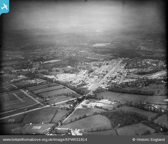
EPW031814 ENGLAND (1930). St Helier and environs, Morden, from the south-east, 1930
© Hawlfraint cyfranwyr OpenStreetMap a thrwyddedwyd gan yr OpenStreetMap Foundation. 2026. Trwyddedir y gartograffeg fel CC BY-SA.
Delweddau cyfagos (10)
EPW031814

EPW031810

EPW035584

EPW031966

EPW031960

EPW031962

EPW031963

EPW031961

EPW031968

EPW031812

Manylion
| Pennawd | [EPW031814] St Helier and environs, Morden, from the south-east, 1930 |
| Cyfeirnod | EPW031814 |
| Dyddiad | May-1930 |
| Dolen | |
| Enw lle | MORDEN |
| Plwyf | |
| Ardal | |
| Gwlad | ENGLAND |
| Dwyreiniad / Gogleddiad | 526030, 166793 |
| Hydred / Lledred | -0.18862660038606, 51.385673853993 |
| Cyfeirnod Grid Cenedlaethol | TQ260668 |
Pinnau

Laurie |
Friday 11th of March 2016 07:31:03 PM | |
|
Laurie |
Friday 11th of March 2016 07:29:42 PM | |
|
Rob H |
Sunday 6th of January 2013 05:43:31 AM | |
|
Rob H |
Sunday 6th of January 2013 05:42:13 AM | |
|
christhewino |
Wednesday 12th of December 2012 09:51:50 PM | |
|
christhewino |
Wednesday 12th of December 2012 09:51:16 PM | |
|
christhewino |
Wednesday 12th of December 2012 09:49:58 PM |