
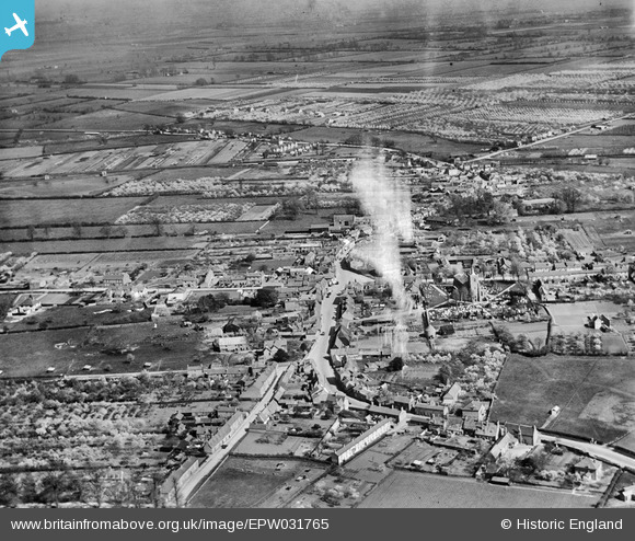
EPW031765 ENGLAND (1930). The town, Somersham, from the west, 1930. This image has been produced from a damaged negative.
© Hawlfraint cyfranwyr OpenStreetMap a thrwyddedwyd gan yr OpenStreetMap Foundation. 2026. Trwyddedir y gartograffeg fel CC BY-SA.
Delweddau cyfagos (3)
EPW031765

EPW031764

EAW031888

Manylion
| Pennawd | [EPW031765] The town, Somersham, from the west, 1930. This image has been produced from a damaged negative. |
| Cyfeirnod | EPW031765 |
| Dyddiad | April-1930 |
| Dolen | |
| Enw lle | SOMERSHAM |
| Plwyf | SOMERSHAM |
| Ardal | |
| Gwlad | ENGLAND |
| Dwyreiniad / Gogleddiad | 535835, 277966 |
| Hydred / Lledred | -0.00400829447406, 52.38247649444 |
| Cyfeirnod Grid Cenedlaethol | TL358780 |
Pinnau
Byddwch y cyntaf i ychwanegu sylw at y ddelwedd hon!