
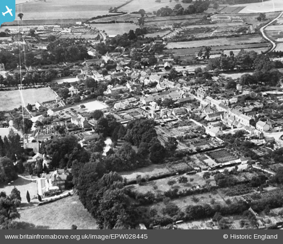
EPW028445 ENGLAND (1929). The village, Linton, 1929. This image has been produced from a copy-negative.
© Hawlfraint cyfranwyr OpenStreetMap a thrwyddedwyd gan yr OpenStreetMap Foundation. 2026. Trwyddedir y gartograffeg fel CC BY-SA.
Delweddau cyfagos (5)
EPW028445

EPW028447

EPW028453

EPW028449

EPW028454

Manylion
| Pennawd | [EPW028445] The village, Linton, 1929. This image has been produced from a copy-negative. |
| Cyfeirnod | EPW028445 |
| Dyddiad | August-1929 |
| Dolen | |
| Enw lle | LINTON |
| Plwyf | LINTON |
| Ardal | |
| Gwlad | ENGLAND |
| Dwyreiniad / Gogleddiad | 556445, 246745 |
| Hydred / Lledred | 0.2841407184026, 52.096481768374 |
| Cyfeirnod Grid Cenedlaethol | TL564467 |
Pinnau
Byddwch y cyntaf i ychwanegu sylw at y ddelwedd hon!