
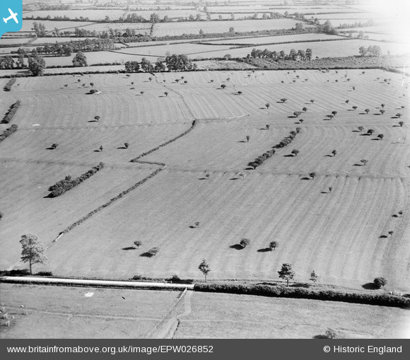
EPW026852 ENGLAND (1929). Ridge and Furrow at Crimscote Field Farm and environs, Crimscote, 1929
© Hawlfraint cyfranwyr OpenStreetMap a thrwyddedwyd gan yr OpenStreetMap Foundation. 2026. Trwyddedir y gartograffeg fel CC BY-SA.
Delweddau cyfagos (3)
EPW026852

EPW026851

EPW026857

Manylion
| Pennawd | [EPW026852] Ridge and Furrow at Crimscote Field Farm and environs, Crimscote, 1929 |
| Cyfeirnod | EPW026852 |
| Dyddiad | May-1929 |
| Dolen | |
| Enw lle | CRIMSCOTE |
| Plwyf | WHITCHURCH |
| Ardal | |
| Gwlad | ENGLAND |
| Dwyreiniad / Gogleddiad | 422461, 246424 |
| Hydred / Lledred | -1.6719460948632, 52.115268653384 |
| Cyfeirnod Grid Cenedlaethol | SP225464 |
Pinnau
Byddwch y cyntaf i ychwanegu sylw at y ddelwedd hon!