
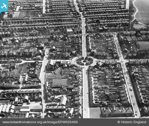
EPW026466 ENGLAND (1929). Rothsay Road and environs, Bedford, 1929
© Hawlfraint cyfranwyr OpenStreetMap a thrwyddedwyd gan yr OpenStreetMap Foundation. 2026. Trwyddedir y gartograffeg fel CC BY-SA.
Delweddau cyfagos (11)
EPW026466

EAW037759

EAW037755

EAW037756

EAW037757

EPW016815

EAW037758

EAW037754

EAW037764

EAW037753

EAW037750

Manylion
| Pennawd | [EPW026466] Rothsay Road and environs, Bedford, 1929 |
| Cyfeirnod | EPW026466 |
| Dyddiad | May-1929 |
| Dolen | |
| Enw lle | BEDFORD |
| Plwyf | |
| Ardal | |
| Gwlad | ENGLAND |
| Dwyreiniad / Gogleddiad | 505615, 249868 |
| Hydred / Lledred | -0.45666091632934, 52.136593431257 |
| Cyfeirnod Grid Cenedlaethol | TL056499 |
Pinnau

Class31 |
Wednesday 4th of June 2014 09:21:43 AM | |
|
Class31 |
Wednesday 4th of June 2014 09:20:00 AM | |
|
Class31 |
Wednesday 4th of June 2014 09:18:08 AM | |
|
Class31 |
Wednesday 4th of June 2014 09:16:46 AM | |
|
Class31 |
Wednesday 4th of June 2014 09:15:46 AM | |

melgibbs |
Sunday 21st of October 2012 10:14:40 AM | |
|
melgibbs |
Sunday 21st of October 2012 10:14:12 AM | |
|
melgibbs |
Sunday 21st of October 2012 10:13:09 AM | |
|
melgibbs |
Sunday 21st of October 2012 10:11:15 AM | |
|
melgibbs |
Sunday 21st of October 2012 10:10:47 AM | |
|
melgibbs |
Sunday 21st of October 2012 10:10:13 AM | |
|
melgibbs |
Sunday 21st of October 2012 10:09:44 AM | |
|
melgibbs |
Sunday 21st of October 2012 10:09:25 AM | |
|
melgibbs |
Sunday 21st of October 2012 10:08:55 AM | |
|
melgibbs |
Sunday 21st of October 2012 10:08:16 AM |


