
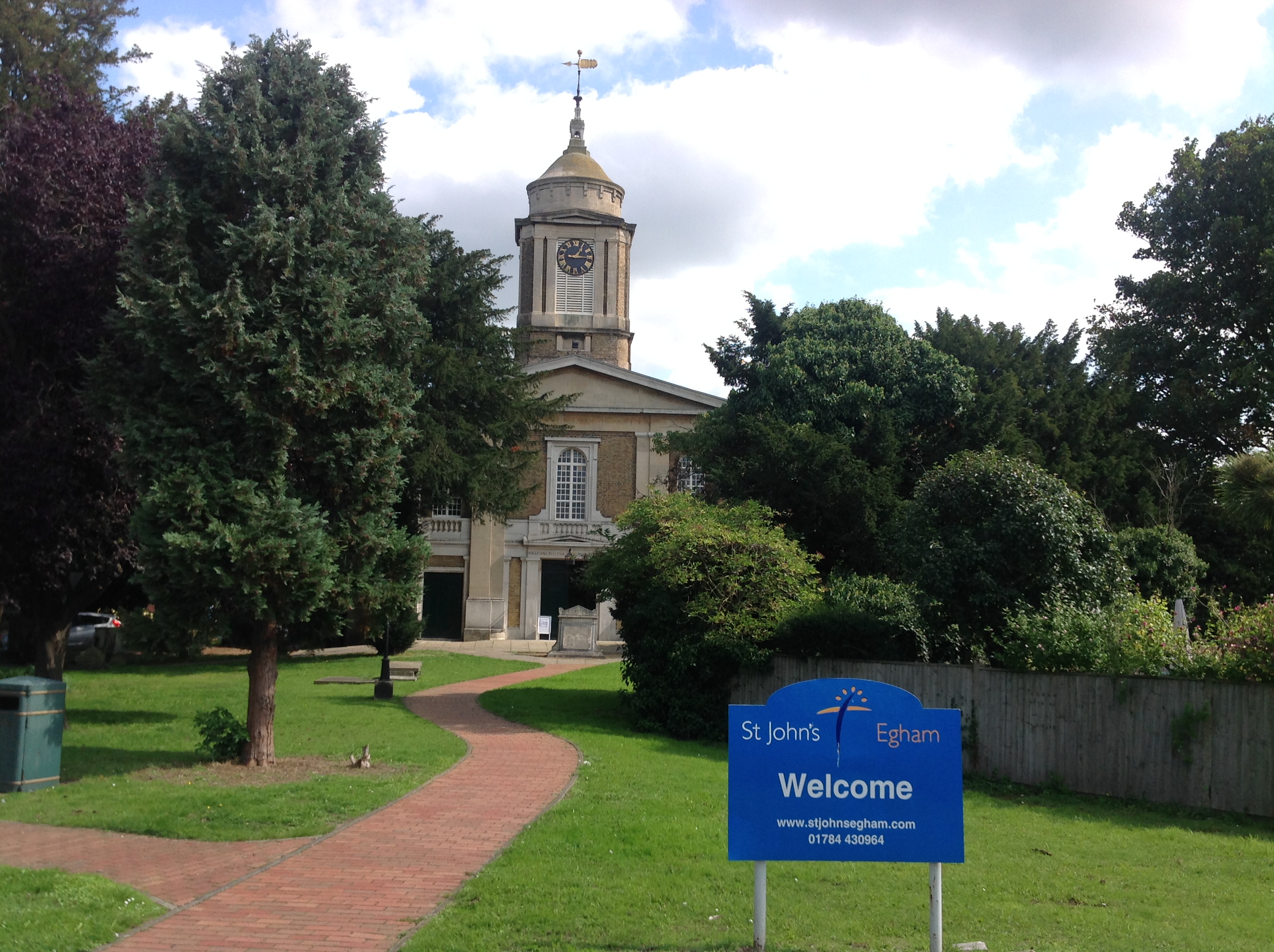
EPW026267 ENGLAND (1929). St John the Baptist's Church and the High Street, Egham, 1929

© Hawlfraint cyfranwyr OpenStreetMap a thrwyddedwyd gan yr OpenStreetMap Foundation. 2026. Trwyddedir y gartograffeg fel CC BY-SA.
Delweddau cyfagos (7)
EPW026267

EPW023512

EPW026252

EPW026266

EPW023505

EPW006214

EPW023510

Manylion
| Pennawd | [EPW026267] St John the Baptist's Church and the High Street, Egham, 1929 |
| Cyfeirnod | EPW026267 |
| Dyddiad | 25-April-1929 |
| Dolen | |
| Enw lle | EGHAM |
| Plwyf | |
| Ardal | |
| Gwlad | ENGLAND |
| Dwyreiniad / Gogleddiad | 501278, 171410 |
| Hydred / Lledred | -0.5429186944105, 51.432137677854 |
| Cyfeirnod Grid Cenedlaethol | TQ013714 |
Pinnau

Class31 |
Sunday 13th of September 2015 09:07:36 PM | |
|
Class31 |
Sunday 13th of September 2015 09:05:33 PM | |
|
Class31 |
Tuesday 30th of October 2012 04:53:33 PM | |
|
Class31 |
Tuesday 30th of October 2012 04:53:03 PM | |
|
Class31 |
Tuesday 30th of October 2012 04:52:49 PM | |
|
Class31 |
Tuesday 30th of October 2012 04:52:19 PM | |
|
Class31 |
Tuesday 30th of October 2012 04:52:01 PM |


Cyfraniadau Grŵp
St. John's Church, Egham, 07/09/2015 |
Class31 |
Sunday 13th of September 2015 09:06:42 PM |