
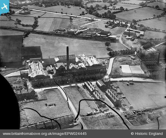
EPW024445 ENGLAND (1928). Kirk Lane Mills, Yeadon, 1928
© Hawlfraint cyfranwyr OpenStreetMap a thrwyddedwyd gan yr OpenStreetMap Foundation. 2026. Trwyddedir y gartograffeg fel CC BY-SA.
Delweddau cyfagos (26)
EPW024445

EPW024449

EAW036905

EAW008878

EAW008879

EAW036906

EAW036910

EAW008877

EAW036904

EAW036907

EAW008883

EAW036908

EAW008882

EPW024446

EAW008884

EPW024447

EAW036909

EAW008881

EAW008885

EAW036903

EAW008880

EAW036897

EAW036899

EAW036900

EAW008869

EAW036901

Manylion
| Pennawd | [EPW024445] Kirk Lane Mills, Yeadon, 1928 |
| Cyfeirnod | EPW024445 |
| Dyddiad | September-1928 |
| Dolen | |
| Enw lle | YEADON |
| Plwyf | |
| Ardal | |
| Gwlad | ENGLAND |
| Dwyreiniad / Gogleddiad | 420297, 441076 |
| Hydred / Lledred | -1.6913216993938, 53.865294975023 |
| Cyfeirnod Grid Cenedlaethol | SE203411 |
Pinnau

Andy Bodkin |
Tuesday 9th of September 2014 09:44:53 PM | |
 |
Andy Bodkin |
Monday 8th of September 2014 04:38:55 PM |

Sandy |
Thursday 5th of July 2012 07:36:27 PM |