
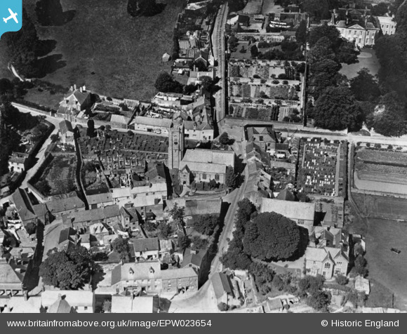
EPW023654 ENGLAND (1928). St Maurice's Church and environs, Plympton, 1928. This image has been produced from a copy-negative.
© Hawlfraint cyfranwyr OpenStreetMap a thrwyddedwyd gan yr OpenStreetMap Foundation. 2026. Trwyddedir y gartograffeg fel CC BY-SA.
Delweddau cyfagos (3)
EPW023654

EPW023657

EPW023655

Manylion
| Pennawd | [EPW023654] St Maurice's Church and environs, Plympton, 1928. This image has been produced from a copy-negative. |
| Cyfeirnod | EPW023654 |
| Dyddiad | September-1928 |
| Dolen | |
| Enw lle | PLYMPTON |
| Plwyf | |
| Ardal | |
| Gwlad | ENGLAND |
| Dwyreiniad / Gogleddiad | 254585, 55758 |
| Hydred / Lledred | -4.0456105784764, 50.383099764009 |
| Cyfeirnod Grid Cenedlaethol | SX546558 |
Pinnau
Byddwch y cyntaf i ychwanegu sylw at y ddelwedd hon!