
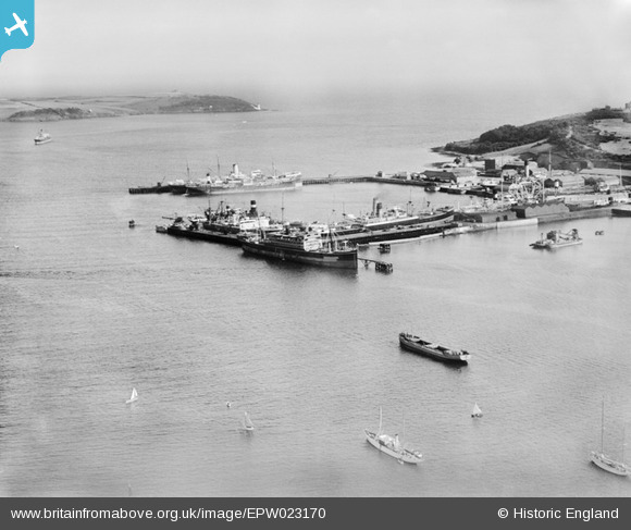
EPW023170 ENGLAND (1928). The Outer Harbour, Falmouth, from the north-west, 1928
© Hawlfraint cyfranwyr OpenStreetMap a thrwyddedwyd gan yr OpenStreetMap Foundation. 2026. Trwyddedir y gartograffeg fel CC BY-SA.
Delweddau cyfagos (3)
EPW023170

EPW021719

EAW033626

Manylion
| Pennawd | [EPW023170] The Outer Harbour, Falmouth, from the north-west, 1928 |
| Cyfeirnod | EPW023170 |
| Dyddiad | 1-September-1928 |
| Dolen | |
| Enw lle | FALMOUTH |
| Plwyf | FALMOUTH |
| Ardal | |
| Gwlad | ENGLAND |
| Dwyreiniad / Gogleddiad | 181603, 33069 |
| Hydred / Lledred | -5.0578862038661, 50.156750107573 |
| Cyfeirnod Grid Cenedlaethol | SW816331 |
Pinnau

MB |
Friday 26th of October 2012 10:08:06 AM | |
|
Ampthillmark |
Sunday 7th of October 2012 07:40:35 PM |