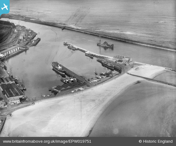
EPW019751 ENGLAND (1927). The South Harbour, Blyth, 1927
    © Hawlfraint cyfranwyr OpenStreetMap a thrwyddedwyd gan yr OpenStreetMap Foundation. 2025. Trwyddedir y gartograffeg fel CC BY-SA.
  
Delweddau cyfagos (6)
Manylion
| Pennawd | [EPW019751] The South Harbour, Blyth, 1927 | 
| Cyfeirnod | EPW019751 | 
| Dyddiad | 18-October-1927 | 
| Dolen | |
| Enw lle | BLYTH | 
| Plwyf | BLYTH | 
| Ardal | |
| Gwlad | ENGLAND | 
| Dwyreiniad / Gogleddiad | 432288, 580646 | 
| Hydred / Lledred | -1.4937000140313, 55.119091673038 | 
| Cyfeirnod Grid Cenedlaethol | NZ323806 | 
Pinnau
Byddwch y cyntaf i ychwanegu sylw at y ddelwedd hon!
 
             
  ![[EPW019751] The South Harbour, Blyth, 1927](http://britainfromabove.org.uk/sites/all/libraries/aerofilms-images/public/100x100/EPW/019/EPW019751.jpg) 
  
                                          ![[EAW052312] The South Harbour and environs, Blyth, 1953](http://britainfromabove.org.uk/sites/all/libraries/aerofilms-images/public/100x100/EAW/052/EAW052312.jpg) 
 ![[EPW019753] The South Harbour, Blyth, 1927](http://britainfromabove.org.uk/sites/all/libraries/aerofilms-images/public/100x100/EPW/019/EPW019753.jpg) 
 ![[EPW048821] The harbour, town and countryside and coast to the north, Blyth, from the south, 1935](http://britainfromabove.org.uk/sites/all/libraries/aerofilms-images/public/100x100/EPW/048/EPW048821.jpg) 
 ![[EPW048836] South Harbour, Blyth, 1935](http://britainfromabove.org.uk/sites/all/libraries/aerofilms-images/public/100x100/EPW/048/EPW048836.jpg) 
 ![[EPW019746] The harbour entrance, Blyth, 1927](http://britainfromabove.org.uk/sites/all/libraries/aerofilms-images/public/100x100/EPW/019/EPW019746.jpg)