
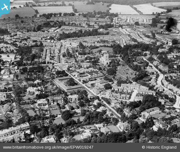
EPW019247 ENGLAND (1927). St Peter's Church and the town, St Albans, 1927
© Hawlfraint cyfranwyr OpenStreetMap a thrwyddedwyd gan yr OpenStreetMap Foundation. 2026. Trwyddedir y gartograffeg fel CC BY-SA.
Delweddau cyfagos (7)
EPW019247

EAW015580

EAW015579

EAW015578

EPW025387

EPW001252

EPW019238

Manylion
| Pennawd | [EPW019247] St Peter's Church and the town, St Albans, 1927 |
| Cyfeirnod | EPW019247 |
| Dyddiad | August-1927 |
| Dolen | |
| Enw lle | ST ALBANS |
| Plwyf | |
| Ardal | |
| Gwlad | ENGLAND |
| Dwyreiniad / Gogleddiad | 515052, 207533 |
| Hydred / Lledred | -0.33299052600046, 51.754202369485 |
| Cyfeirnod Grid Cenedlaethol | TL151075 |
Pinnau
Byddwch y cyntaf i ychwanegu sylw at y ddelwedd hon!