
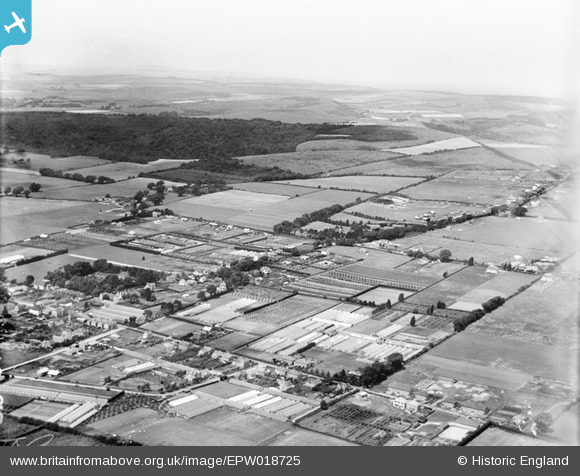
EPW018725 ENGLAND (1927). Durrington Hill, Salvington Hill and environs, Salvington, from the south-east, 1927
© Hawlfraint cyfranwyr OpenStreetMap a thrwyddedwyd gan yr OpenStreetMap Foundation. 2025. Trwyddedir y gartograffeg fel CC BY-SA.
Delweddau cyfagos (4)
EPW018725

EPW018724

EPW018727

EPW018728

Manylion
| Pennawd | [EPW018725] Durrington Hill, Salvington Hill and environs, Salvington, from the south-east, 1927 |
| Cyfeirnod | EPW018725 |
| Dyddiad | 6-July-1927 |
| Dolen | |
| Enw lle | SALVINGTON |
| Plwyf | |
| Ardal | |
| Gwlad | ENGLAND |
| Dwyreiniad / Gogleddiad | 512062, 105501 |
| Hydred / Lledred | -0.40833847940968, 50.837614672719 |
| Cyfeirnod Grid Cenedlaethol | TQ121055 |
Pinnau

Steph Baldwin |
Monday 11th of May 2020 05:26:21 PM |