
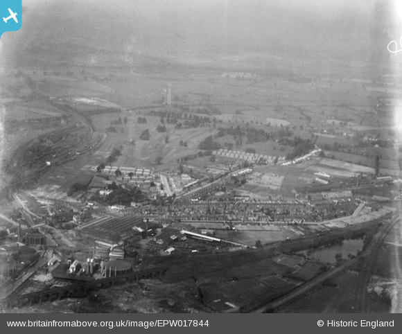
EPW017844 ENGLAND (1927). Oxley, Wolverhampton, from the south-east, 1927
© Hawlfraint cyfranwyr OpenStreetMap a thrwyddedwyd gan yr OpenStreetMap Foundation. 2026. Trwyddedir y gartograffeg fel CC BY-SA.
Delweddau cyfagos (6)
EPW017844

EPW017849

EPW017851

EPW011794

EPW061266

EPW017848

Manylion
| Pennawd | [EPW017844] Oxley, Wolverhampton, from the south-east, 1927 |
| Cyfeirnod | EPW017844 |
| Dyddiad | April-1927 |
| Dolen | |
| Enw lle | WOLVERHAMPTON |
| Plwyf | |
| Ardal | |
| Gwlad | ENGLAND |
| Dwyreiniad / Gogleddiad | 391429, 300793 |
| Hydred / Lledred | -2.1265737246682, 52.604499387179 |
| Cyfeirnod Grid Cenedlaethol | SJ914008 |
Pinnau
Byddwch y cyntaf i ychwanegu sylw at y ddelwedd hon!