
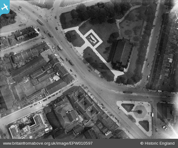
EPW010597 ENGLAND (1924). The War Memorials and St Thomas the Martyr's Church, Newcastle upon Tyne, 1924
© Hawlfraint cyfranwyr OpenStreetMap a thrwyddedwyd gan yr OpenStreetMap Foundation. 2026. Trwyddedir y gartograffeg fel CC BY-SA.
Delweddau cyfagos (16)
EPW010597

EPW010422A

EPW010593

EPW010595

EPW010356

EPW010589

EPW010590

EPW019818

EPW010591

EPW010592

EPW010594

EPW010599

EPW019886

EPW010596

EPW010598

EPW026665

Manylion
| Pennawd | [EPW010597] The War Memorials and St Thomas the Martyr's Church, Newcastle upon Tyne, 1924 |
| Cyfeirnod | EPW010597 |
| Dyddiad | 14-June-1924 |
| Dolen | |
| Enw lle | NEWCASTLE UPON TYNE |
| Plwyf | |
| Ardal | |
| Gwlad | ENGLAND |
| Dwyreiniad / Gogleddiad | 424846, 564938 |
| Hydred / Lledred | -1.6117606837186, 54.978353779114 |
| Cyfeirnod Grid Cenedlaethol | NZ248649 |
Pinnau

Arpster |
Thursday 22nd of August 2013 10:27:02 AM |
Cyfraniadau Grŵp
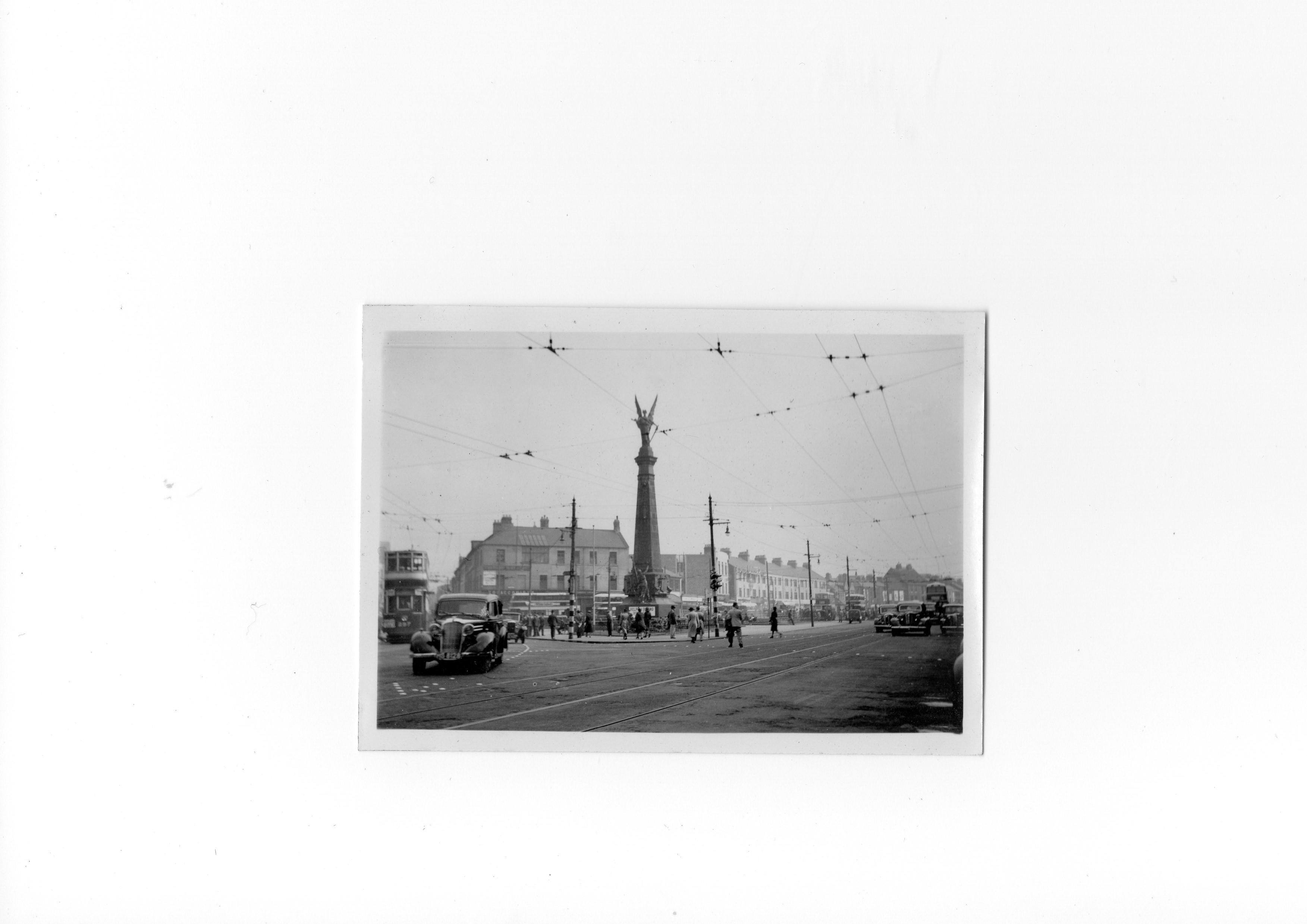
A period photograph from 1939 |

Class31 |
Tuesday 6th of May 2014 01:56:20 PM |