
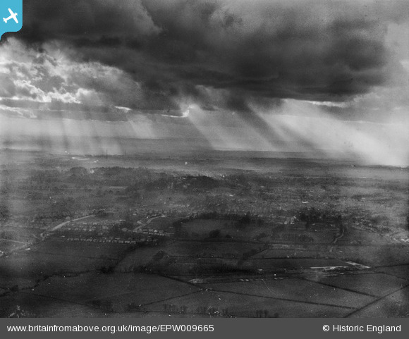
EPW009665 ENGLAND (1923). Greenhill and Harrow on the Hill, Harrow, from the north-east, 1923
© Hawlfraint cyfranwyr OpenStreetMap a thrwyddedwyd gan yr OpenStreetMap Foundation. 2026. Trwyddedir y gartograffeg fel CC BY-SA.
Delweddau cyfagos (3)
EPW009665

EPW034805

EPW034802

Manylion
| Pennawd | [EPW009665] Greenhill and Harrow on the Hill, Harrow, from the north-east, 1923 |
| Cyfeirnod | EPW009665 |
| Dyddiad | 1923 |
| Dolen | |
| Enw lle | HARROW |
| Plwyf | |
| Ardal | |
| Gwlad | ENGLAND |
| Dwyreiniad / Gogleddiad | 516715, 188976 |
| Hydred / Lledred | -0.3151076574799, 51.587061641613 |
| Cyfeirnod Grid Cenedlaethol | TQ167890 |
Pinnau

Class31 |
Monday 27th of May 2013 11:01:20 AM | |
|
Class31 |
Monday 27th of May 2013 11:00:49 AM | |
|
Class31 |
Monday 27th of May 2013 10:59:33 AM | |
|
Class31 |
Monday 27th of May 2013 10:55:56 AM | |
|
Class31 |
Monday 27th of May 2013 10:55:06 AM | |

Tony D |
Saturday 18th of May 2013 12:58:37 AM | |
|
Tony D |
Saturday 18th of May 2013 12:57:30 AM | |
|
Tony D |
Friday 17th of May 2013 11:33:11 PM |
Cyfraniadau Grŵp
View over Kenton Recreation Ground and the West Coast Main Line railway towards Harrow on the Hill. Eureka I'm on a roll! |
Class31 |
Monday 1st of July 2013 01:50:50 PM |
Thank goodness for the characteristic profile of Harrow on the Hill (and the sewage works by the rec.)...We'll update the catalogue, and post the new data here in due course. Yours, Katy Britain from Above Cataloguing Team Leader |
Katy Whitaker |
Monday 1st of July 2013 01:50:50 PM |