
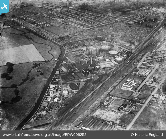
EPW009252 ENGLAND (1923). The Brentford Gas Company Works and environs, Southall, 1923
© Hawlfraint cyfranwyr OpenStreetMap a thrwyddedwyd gan yr OpenStreetMap Foundation. 2026. Trwyddedir y gartograffeg fel CC BY-SA.
Delweddau cyfagos (10)
EPW009252

EPW009257

EPW009254

EPW009250

EPW009251

EPW009255

EPW009253

EPW009256

EPW037584
 on Johnson Street, Southall, 1932")
EPW037340

Manylion
| Pennawd | [EPW009252] The Brentford Gas Company Works and environs, Southall, 1923 |
| Cyfeirnod | EPW009252 |
| Dyddiad | 1923 |
| Dolen | |
| Enw lle | SOUTHALL |
| Plwyf | |
| Ardal | |
| Gwlad | ENGLAND |
| Dwyreiniad / Gogleddiad | 511509, 179655 |
| Hydred / Lledred | -0.39318325505373, 51.504330703264 |
| Cyfeirnod Grid Cenedlaethol | TQ115797 |
Pinnau

Elcid |
Sunday 5th of March 2017 03:56:20 PM | |
|
Elcid |
Sunday 5th of March 2017 03:56:17 PM | |
|
Hayesboy |
Thursday 19th of February 2015 07:10:14 AM | |
|
Hayesboy |
Thursday 19th of February 2015 12:28:01 AM | |
|
Hayesboy |
Thursday 19th of February 2015 12:17:57 AM | |
|
Hayesboy |
Wednesday 18th of February 2015 11:51:37 PM | |
|
Mozzy |
Friday 26th of December 2014 11:15:55 AM | |
|
southallboy |
Thursday 29th of May 2014 03:11:49 PM | |
|
southallboy |
Thursday 29th of May 2014 03:10:42 PM |