
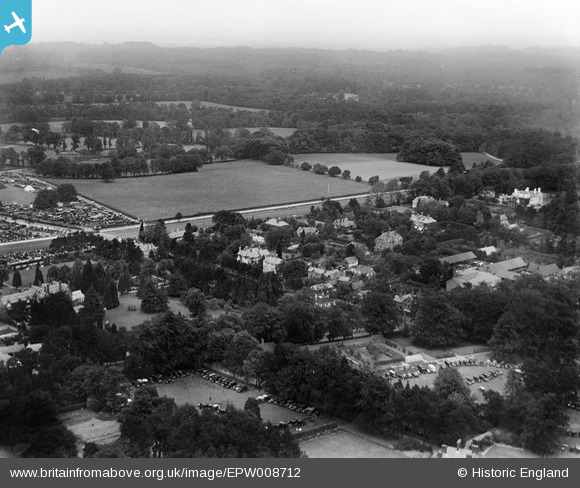
EPW008712 ENGLAND (1923). The New Mile Course and environs, Ascot, from the south-west, 1923
© Hawlfraint cyfranwyr OpenStreetMap a thrwyddedwyd gan yr OpenStreetMap Foundation. 2026. Trwyddedir y gartograffeg fel CC BY-SA.
Delweddau cyfagos (3)
EPW008712

EPW013400

EPW006701

Manylion
| Pennawd | [EPW008712] The New Mile Course and environs, Ascot, from the south-west, 1923 |
| Cyfeirnod | EPW008712 |
| Dyddiad | 1923 |
| Dolen | |
| Enw lle | ASCOT |
| Plwyf | SUNNINGHILL AND ASCOT |
| Ardal | |
| Gwlad | ENGLAND |
| Dwyreiniad / Gogleddiad | 492646, 168769 |
| Hydred / Lledred | -0.66775963517432, 51.409872146074 |
| Cyfeirnod Grid Cenedlaethol | SU926688 |
Pinnau
Byddwch y cyntaf i ychwanegu sylw at y ddelwedd hon!