
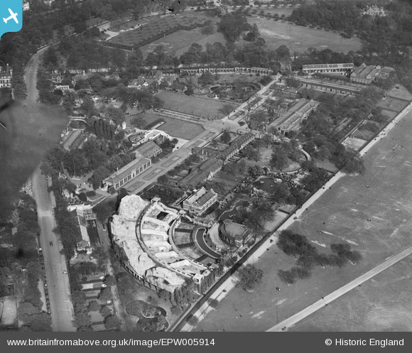
EPW005914 ENGLAND (1921). London Zoo, Regent's Park, 1921
© Hawlfraint cyfranwyr OpenStreetMap a thrwyddedwyd gan yr OpenStreetMap Foundation. 2025. Trwyddedir y gartograffeg fel CC BY-SA.
Delweddau cyfagos (12)
EPW005914

EAW000547

EAW000546

EAW015832

EPW027042

EPW006154

EPW046685

EAW030112

EAW030113

EAW000544

EAW000543

EPW009092

Manylion
| Pennawd | [EPW005914] London Zoo, Regent's Park, 1921 |
| Cyfeirnod | EPW005914 |
| Dyddiad | March-1921 |
| Dolen | |
| Enw lle | REGENT'S PARK |
| Plwyf | |
| Ardal | |
| Gwlad | ENGLAND |
| Dwyreiniad / Gogleddiad | 528044, 183386 |
| Hydred / Lledred | -0.15368654700445, 51.534359371211 |
| Cyfeirnod Grid Cenedlaethol | TQ280834 |
Pinnau

Kentishman |
Thursday 9th of March 2023 06:15:50 PM | |
|
marcman |
Tuesday 15th of August 2017 01:36:02 PM | |
|
paulbirch99 |
Sunday 7th of April 2013 12:08:54 AM | |
|
paulbirch99 |
Saturday 6th of April 2013 11:05:40 PM | |
Possibly accommodation for the Army left over from WW1? There was a Cavalry barracks in nearby Albany Street that it might have been connected with. On a late 1920s atlas of London in my possession there is a cricket ground marked where the huts stood. |
John W |
Tuesday 15th of November 2016 05:43:57 PM |
This is the Postal sorting office for troop mail in WWI |
Local History Researcher |
Sunday 20th of January 2019 06:47:15 PM |

Class31 |
Saturday 6th of April 2013 08:00:36 PM | |
|
Class31 |
Saturday 6th of April 2013 07:43:18 PM |