
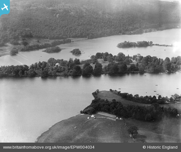
EPW004034 ENGLAND (1920). Belle Isle, Windermere, 1920
© Hawlfraint cyfranwyr OpenStreetMap a thrwyddedwyd gan yr OpenStreetMap Foundation. 2026. Trwyddedir y gartograffeg fel CC BY-SA.
Delweddau cyfagos (4)
EPW004034

EPW004043

EPW026745

EPW026774

Manylion
| Pennawd | [EPW004034] Belle Isle, Windermere, 1920 |
| Cyfeirnod | EPW004034 |
| Dyddiad | August-1920 |
| Dolen | |
| Enw lle | WINDERMERE |
| Plwyf | WINDERMERE |
| Ardal | |
| Gwlad | ENGLAND |
| Dwyreiniad / Gogleddiad | 339382, 496536 |
| Hydred / Lledred | -2.9329498707672, 54.360591039154 |
| Cyfeirnod Grid Cenedlaethol | SD394965 |
Pinnau

Class31 |
Thursday 4th of October 2012 05:59:45 PM |
Cyfraniadau Grŵp
More detail: http://en.wikipedia.org/wiki/Belle_Isle_(Windermere) |

Robert - Cumbria |
Tuesday 26th of June 2012 09:04:40 PM |

Belle Island in Lake Windermere, complete with 'Round House' |
Robert - Cumbria |
Tuesday 26th of June 2012 09:00:45 PM |