
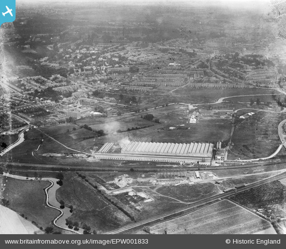
EPW001833 ENGLAND (1920). View over Ipswich and the Ipswich and Handford Works, Ipswich, 1920
© Hawlfraint cyfranwyr OpenStreetMap a thrwyddedwyd gan yr OpenStreetMap Foundation. 2026. Trwyddedir y gartograffeg fel CC BY-SA.
Delweddau cyfagos (2)
EPW001833

EPW032872

Manylion
| Pennawd | [EPW001833] View over Ipswich and the Ipswich and Handford Works, Ipswich, 1920 |
| Cyfeirnod | EPW001833 |
| Dyddiad | June-1920 |
| Dolen | |
| Enw lle | IPSWICH |
| Plwyf | |
| Ardal | |
| Gwlad | ENGLAND |
| Dwyreiniad / Gogleddiad | 614807, 244965 |
| Hydred / Lledred | 1.1339291302517, 52.06092833837 |
| Cyfeirnod Grid Cenedlaethol | TM148450 |
Pinnau

John W |
Saturday 21st of January 2017 04:36:46 PM | |
|
Dazza |
Monday 22nd of October 2012 09:43:56 AM |