
EPW001639 ENGLAND (1920). Juniper Hill and area, Mickleham, 1920
© Hawlfraint cyfranwyr OpenStreetMap a thrwyddedwyd gan yr OpenStreetMap Foundation. 2026. Trwyddedir y gartograffeg fel CC BY-SA.
Delweddau cyfagos (3)
EPW001639

EPW053875

EPW006241

Manylion
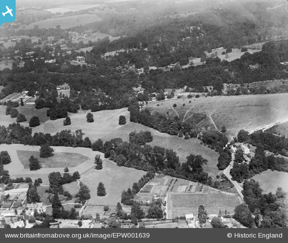
| Pennawd | [EPW001639] Juniper Hill and area, Mickleham, 1920 |
| Cyfeirnod | EPW001639 |
| Dyddiad | June-1920 |
| Dolen | |
| Enw lle | MICKLEHAM |
| Plwyf | MICKLEHAM |
| Ardal | |
| Gwlad | ENGLAND |
| Dwyreiniad / Gogleddiad | 517109, 152251 |
| Hydred / Lledred | -0.32156162565997, 51.256868510967 |
| Cyfeirnod Grid Cenedlaethol | TQ171523 |
Pinnau

Reginald |
Thursday 9th of May 2013 03:20:54 PM | |
|
Reginald |
Thursday 9th of May 2013 03:20:16 PM | |
|
Reginald |
Thursday 9th of May 2013 03:18:09 PM | |
|
Reginald |
Thursday 9th of May 2013 03:16:51 PM | |
|
Reginald |
Thursday 9th of May 2013 03:12:40 PM | |
|
Reginald |
Thursday 9th of May 2013 03:10:35 PM | |
|
Reginald |
Thursday 9th of May 2013 03:07:55 PM | |
|
rog8811 |
Wednesday 5th of September 2012 08:14:01 PM | |
|
rog8811 |
Wednesday 5th of September 2012 08:07:41 PM | |
|
rog8811 |
Wednesday 5th of September 2012 08:00:24 PM |

