
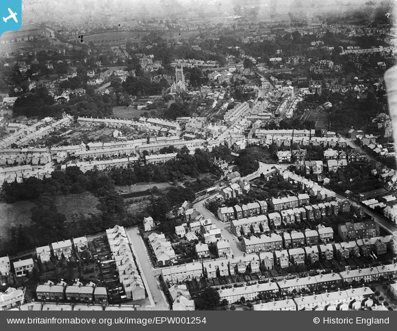
EPW001254 ENGLAND (1920). St Peter's Church and area, St Albans, 1920
© Hawlfraint cyfranwyr OpenStreetMap a thrwyddedwyd gan yr OpenStreetMap Foundation. 2026. Trwyddedir y gartograffeg fel CC BY-SA.
Delweddau cyfagos (3)
EPW001254

EPW025389

EPW019238

Manylion
| Pennawd | [EPW001254] St Peter's Church and area, St Albans, 1920 |
| Cyfeirnod | EPW001254 |
| Dyddiad | May-1920 |
| Dolen | |
| Enw lle | ST ALBANS |
| Plwyf | |
| Ardal | |
| Gwlad | ENGLAND |
| Dwyreiniad / Gogleddiad | 514689, 207769 |
| Hydred / Lledred | -0.33816983056403, 51.756398072689 |
| Cyfeirnod Grid Cenedlaethol | TL147078 |
Pinnau

DavidM_UK |
Monday 9th of March 2020 10:29:44 AM |