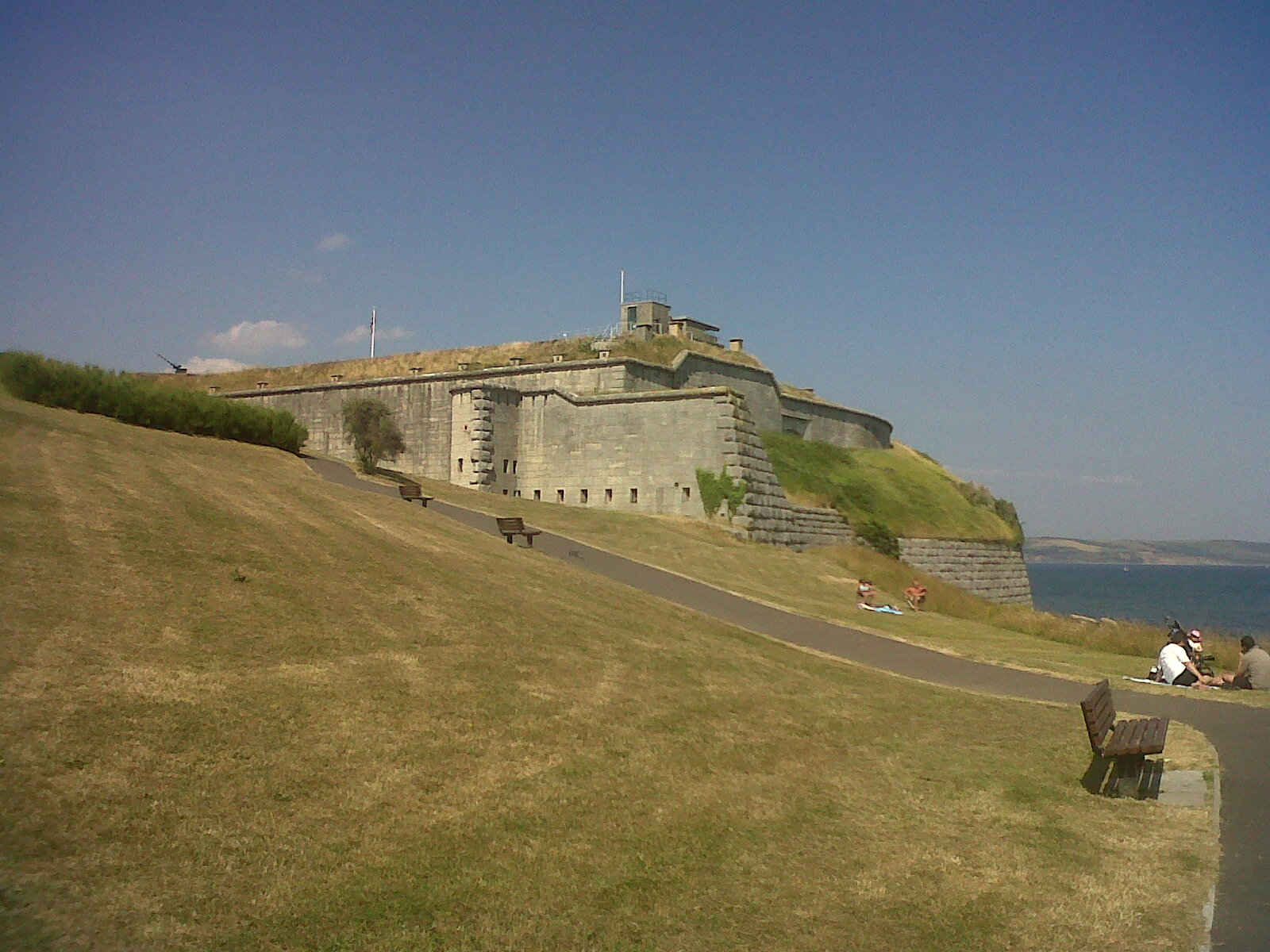
EPW000310 ENGLAND (1920). Nothe Fort, Nothe Point, 1920
© Hawlfraint cyfranwyr OpenStreetMap a thrwyddedwyd gan yr OpenStreetMap Foundation. 2026. Trwyddedir y gartograffeg fel CC BY-SA.
Delweddau cyfagos (5)
Manylion
| Pennawd | [EPW000310] Nothe Fort, Nothe Point, 1920 |
| Cyfeirnod | EPW000310 |
| Dyddiad | April-1920 |
| Dolen | |
| Enw lle | NOTHE FORT |
| Plwyf | |
| Ardal | |
| Gwlad | ENGLAND |
| Dwyreiniad / Gogleddiad | 368668, 78755 |
| Hydred / Lledred | -2.4428321799289, 50.60708292029 |
| Cyfeirnod Grid Cenedlaethol | SY687788 |
Pinnau

Alan McFaden |
Saturday 19th of October 2013 12:38:49 PM | |

Alan McFaden |
Saturday 19th of October 2013 12:37:46 PM | |

Alan McFaden |
Saturday 19th of October 2013 12:34:17 PM | |

Alan McFaden |
Saturday 19th of October 2013 12:33:19 PM | |

Class31 |
Saturday 20th of July 2013 10:46:49 PM | |

Class31 |
Monday 1st of October 2012 03:29:03 PM |


![[EPW000310] Nothe Fort, Nothe Point, 1920](http://britainfromabove.org.uk/sites/all/libraries/aerofilms-images/public/100x100/EPW/000/EPW000310.jpg)
![[EAW010936] The harbour mouth, Weymouth, 1947](http://britainfromabove.org.uk/sites/all/libraries/aerofilms-images/public/100x100/EAW/010/EAW010936.jpg)
![[EAW010940] The Nothe, Weymouth, 1947](http://britainfromabove.org.uk/sites/all/libraries/aerofilms-images/public/100x100/EAW/010/EAW010940.jpg)
![[EAW010949] The Nothe, the harbour and the town, Weymouth, from the south-east, 1947](http://britainfromabove.org.uk/sites/all/libraries/aerofilms-images/public/100x100/EAW/010/EAW010949.jpg)
![[EAW010938] The town and harbour, Weymouth, from the east, 1947](http://britainfromabove.org.uk/sites/all/libraries/aerofilms-images/public/100x100/EAW/010/EAW010938.jpg)


