
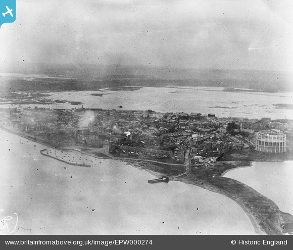
EPW000274 ENGLAND (1920). Poole and Poole Bay, from the south-east, 1920
© Hawlfraint cyfranwyr OpenStreetMap a thrwyddedwyd gan yr OpenStreetMap Foundation. 2026. Trwyddedir y gartograffeg fel CC BY-SA.
Delweddau cyfagos (4)
EPW000274

EPW013629

EAW018153

EPW013632

Manylion
| Pennawd | [EPW000274] Poole and Poole Bay, from the south-east, 1920 |
| Cyfeirnod | EPW000274 |
| Dyddiad | April-1920 |
| Dolen | |
| Enw lle | POOLE |
| Plwyf | |
| Ardal | |
| Gwlad | ENGLAND |
| Dwyreiniad / Gogleddiad | 401046, 90471 |
| Hydred / Lledred | -1.9851829592431, 50.713294938915 |
| Cyfeirnod Grid Cenedlaethol | SZ010905 |
Pinnau

KeithFP |
Thursday 8th of November 2012 12:41:13 PM | |
|
KeithFP |
Thursday 8th of November 2012 12:39:58 PM | |
|
KeithFP |
Thursday 8th of November 2012 12:37:17 PM | |
|
KeithFP |
Thursday 8th of November 2012 12:36:46 PM | |
|
KeithFP |
Thursday 8th of November 2012 12:34:47 PM |