
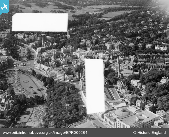
EPR000284 ENGLAND (1934). Gervais Place, the Lower Pleasure Gardens and environs, Bournemouth, 1934. This image was marked by Aero Pictorial Ltd for photo editing.
© Hawlfraint cyfranwyr OpenStreetMap a thrwyddedwyd gan yr OpenStreetMap Foundation. 2026. Trwyddedir y gartograffeg fel CC BY-SA.
Delweddau cyfagos (7)
EPR000284

EPW018159

EPR000282

EPW018161

EPW037420

EPW037421

EPW018158

Manylion
| Pennawd | [EPR000284] Gervais Place, the Lower Pleasure Gardens and environs, Bournemouth, 1934. This image was marked by Aero Pictorial Ltd for photo editing. |
| Cyfeirnod | EPR000284 |
| Dyddiad | 26-August-1934 |
| Dolen | |
| Enw lle | BOURNEMOUTH |
| Plwyf | |
| Ardal | |
| Gwlad | ENGLAND |
| Dwyreiniad / Gogleddiad | 408754, 91230 |
| Hydred / Lledred | -1.8759779566626, 50.720056151465 |
| Cyfeirnod Grid Cenedlaethol | SZ088912 |
Pinnau

Class31 |
Saturday 17th of October 2015 11:32:52 PM |
