
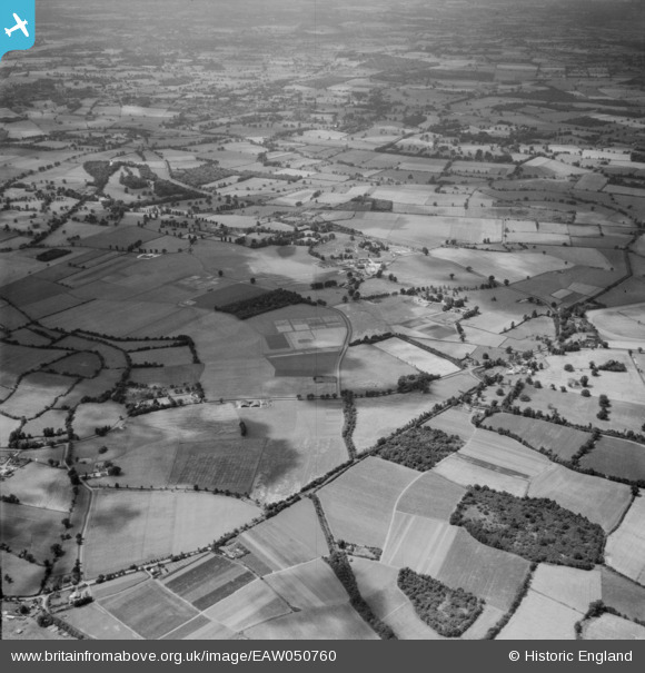
EAW050760 ENGLAND (1953). The Jealott's Hill Agrochemical Research Station and the surrounding countryside, Jealott's Hill, from the north-east, 1953
© Hawlfraint cyfranwyr OpenStreetMap a thrwyddedwyd gan yr OpenStreetMap Foundation. 2026. Trwyddedir y gartograffeg fel CC BY-SA.
Delweddau cyfagos (4)
EAW050760

EAW050765

EAW050777

EAW050778

Manylion
| Pennawd | [EAW050760] The Jealott's Hill Agrochemical Research Station and the surrounding countryside, Jealott's Hill, from the north-east, 1953 |
| Cyfeirnod | EAW050760 |
| Dyddiad | 18-July-1953 |
| Dolen | |
| Enw lle | JEALOTT'S HILL |
| Plwyf | WARFIELD |
| Ardal | |
| Gwlad | ENGLAND |
| Dwyreiniad / Gogleddiad | 488512, 173829 |
| Hydred / Lledred | -0.72592504178298, 51.456024021375 |
| Cyfeirnod Grid Cenedlaethol | SU885738 |
Pinnau
Byddwch y cyntaf i ychwanegu sylw at y ddelwedd hon!