
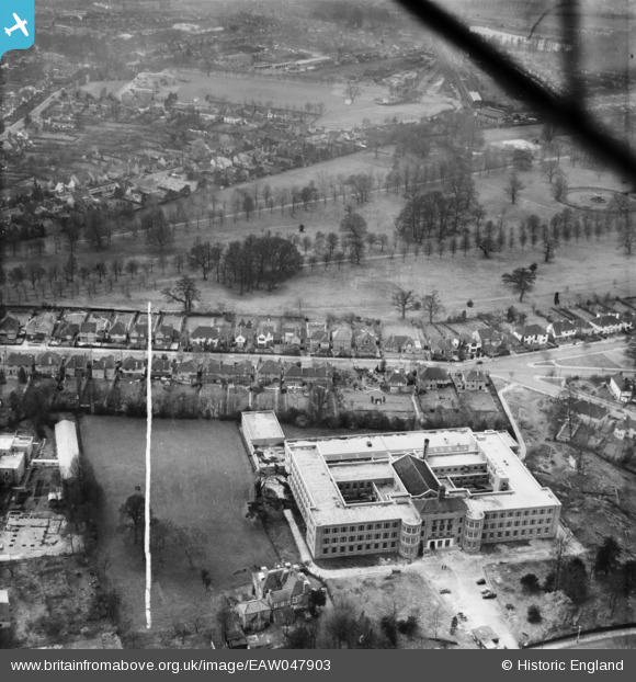
EAW047903 ENGLAND (1952). Watford Technical College and Cassiobury Park, Watford, 1952. This image was marked by Aerofilms Ltd for photo editing.
© Hawlfraint cyfranwyr OpenStreetMap a thrwyddedwyd gan yr OpenStreetMap Foundation. 2026. Trwyddedir y gartograffeg fel CC BY-SA.
Delweddau cyfagos (5)
EAW047903

EAW026498

EPW039631

EPW019234

EAW047902

Manylion
| Pennawd | [EAW047903] Watford Technical College and Cassiobury Park, Watford, 1952. This image was marked by Aerofilms Ltd for photo editing. |
| Cyfeirnod | EAW047903 |
| Dyddiad | 17-November-1952 |
| Dolen | |
| Enw lle | WATFORD |
| Plwyf | |
| Ardal | |
| Gwlad | ENGLAND |
| Dwyreiniad / Gogleddiad | 510145, 196819 |
| Hydred / Lledred | -0.40744460030853, 51.658884004884 |
| Cyfeirnod Grid Cenedlaethol | TQ101968 |
