
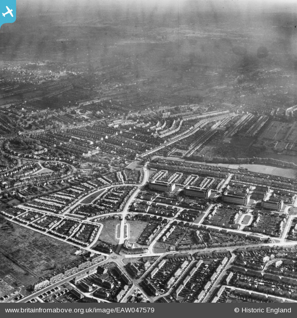
EAW047579 ENGLAND (1952). Pollards Hill, Mitcham, from the north-west, 1952
© Hawlfraint cyfranwyr OpenStreetMap a thrwyddedwyd gan yr OpenStreetMap Foundation. 2026. Trwyddedir y gartograffeg fel CC BY-SA.
Delweddau cyfagos (5)
EAW047579

EAW047580

EAW047581

EAW047583

EAW047582

Manylion
| Pennawd | [EAW047579] Pollards Hill, Mitcham, from the north-west, 1952 |
| Cyfeirnod | EAW047579 |
| Dyddiad | 23-October-1952 |
| Dolen | |
| Enw lle | MITCHAM |
| Plwyf | |
| Ardal | |
| Gwlad | ENGLAND |
| Dwyreiniad / Gogleddiad | 530070, 168352 |
| Hydred / Lledred | -0.13002283121707, 51.398774297523 |
| Cyfeirnod Grid Cenedlaethol | TQ301684 |
Pinnau
Cyfraniadau Grŵp
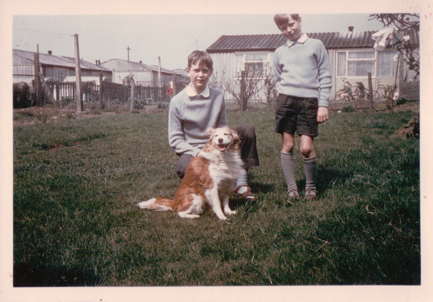
lived here from 1950 - 1965 in a 2 bedroom detached prefab with large garden. It was made entirely from asbestos and rust but never did me any harm........probably....... |

Ivor Shed |
Monday 22nd of February 2016 12:19:56 PM |