
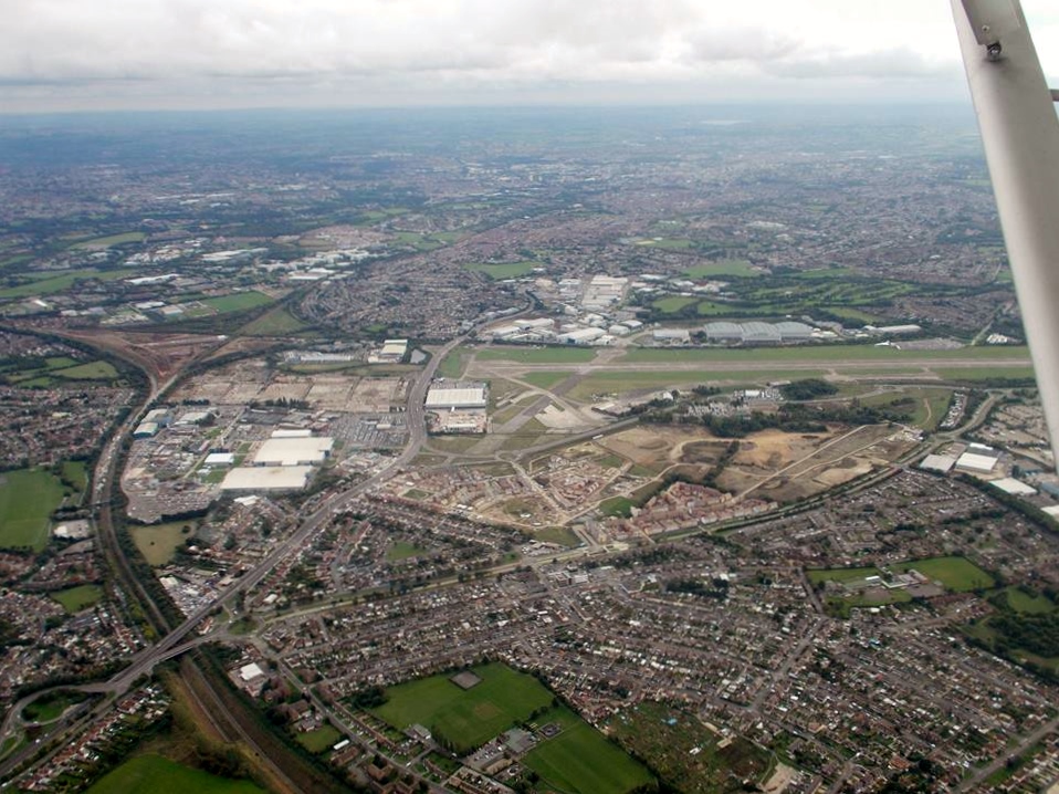
EAW047193 ENGLAND (1952). Southmead Hospital and environs, Bristol, 1952. This image was marked by Aerofilms Ltd for photo editing.

© Hawlfraint cyfranwyr OpenStreetMap a thrwyddedwyd gan yr OpenStreetMap Foundation. 2026. Trwyddedir y gartograffeg fel CC BY-SA.
Delweddau cyfagos (5)
EAW047193

EAW047191

EAW047190

EAW047192

EAW047194

Manylion
| Pennawd | [EAW047193] Southmead Hospital and environs, Bristol, 1952. This image was marked by Aerofilms Ltd for photo editing. |
| Cyfeirnod | EAW047193 |
| Dyddiad | 9-October-1952 |
| Dolen | |
| Enw lle | BRISTOL |
| Plwyf | |
| Ardal | |
| Gwlad | ENGLAND |
| Dwyreiniad / Gogleddiad | 359068, 177831 |
| Hydred / Lledred | -2.5897160717302, 51.497451857767 |
| Cyfeirnod Grid Cenedlaethol | ST591778 |
Pinnau

Cyfraniadau Grŵp
An aerial view of the Aircraft Assembly Hall(Brabazon Hangar) from the north, 9th October 2013. Courtesy Con Shields |

Class31 |
Wednesday 7th of October 2015 08:42:29 AM |
An aerial view of the Aircraft Assembly Hall(Brabazon Hangar) from the north, 9th October 2013. Courtesy Con Shields |
Class31 |
Wednesday 7th of October 2015 08:42:07 AM |