
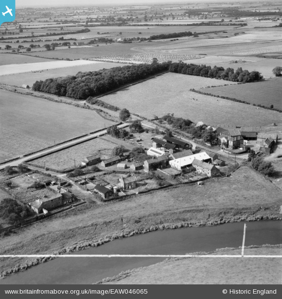
EAW046065 ENGLAND (1952). Low Acaster Plantation and the village, Acaster Selby, 1952. This image was marked by Aerofilms Ltd for photo editing.
© Hawlfraint cyfranwyr OpenStreetMap a thrwyddedwyd gan yr OpenStreetMap Foundation. 2025. Trwyddedir y gartograffeg fel CC BY-SA.
Delweddau cyfagos (6)
EAW046065

EAW046072

EAW046066

EAW046064

EAW046067

EAW046070

Manylion
| Pennawd | [EAW046065] Low Acaster Plantation and the village, Acaster Selby, 1952. This image was marked by Aerofilms Ltd for photo editing. |
| Cyfeirnod | EAW046065 |
| Dyddiad | 22-August-1952 |
| Dolen | |
| Enw lle | ACASTER SELBY |
| Plwyf | ACASTER SELBY |
| Ardal | |
| Gwlad | ENGLAND |
| Dwyreiniad / Gogleddiad | 457452, 441490 |
| Hydred / Lledred | -1.1262371198218, 53.866232872809 |
| Cyfeirnod Grid Cenedlaethol | SE575415 |
Pinnau

redmist |
Wednesday 13th of May 2020 11:49:38 PM | |
|
redmist |
Wednesday 13th of May 2020 11:40:25 PM | |
|
redmist |
Wednesday 13th of May 2020 11:28:16 PM | |
|
redmist |
Wednesday 13th of May 2020 11:27:30 PM | |
|
redmist |
Wednesday 13th of May 2020 11:25:46 PM |