
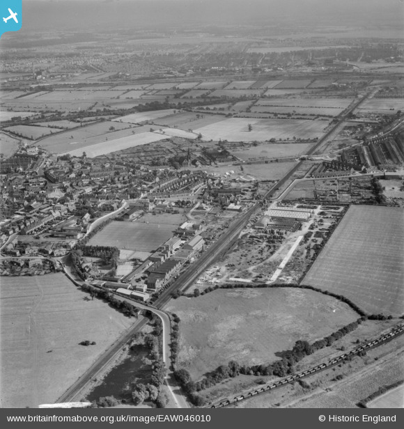
EAW046010 ENGLAND (1952). The Cementation Co Works and the surrounding area, Bentley, from the north-west, 1952
© Hawlfraint cyfranwyr OpenStreetMap a thrwyddedwyd gan yr OpenStreetMap Foundation. 2026. Trwyddedir y gartograffeg fel CC BY-SA.
Delweddau cyfagos (33)
EAW046010

EAW046011

EAW049792

EPW042041

EPW042044

EAW049172

EAW046018

EAW048673

EPW041511

EAW049791

EPW041514

EPW041508

EAW049793

EPW041515

EAW049173

EPW041513

EPW041509

EAW049794

EAW048677

EAW048674

EAW048675

EPW041512

EPW041510

EAW049174

EAW046017

EAW046016

EAW049795

EAW048678

EAW048676

EAW046012

EAW049796

EAW046013

EAW046015

Manylion
| Pennawd | [EAW046010] The Cementation Co Works and the surrounding area, Bentley, from the north-west, 1952 |
| Cyfeirnod | EAW046010 |
| Dyddiad | 22-August-1952 |
| Dolen | |
| Enw lle | BENTLEY |
| Plwyf | |
| Ardal | |
| Gwlad | ENGLAND |
| Dwyreiniad / Gogleddiad | 456104, 405939 |
| Hydred / Lledred | -1.1531763037803, 53.546842265334 |
| Cyfeirnod Grid Cenedlaethol | SE561059 |
Pinnau
Byddwch y cyntaf i ychwanegu sylw at y ddelwedd hon!