
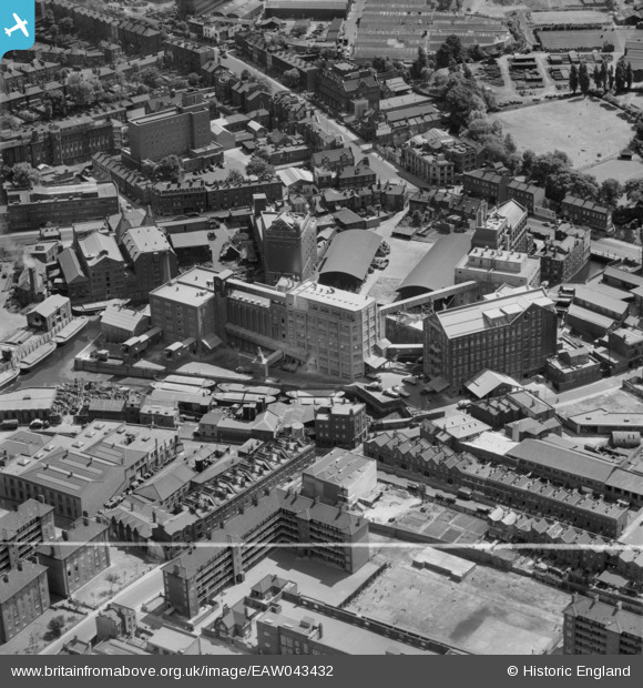
EAW043432 ENGLAND (1952). Flour Mills at Deptford Creek, Deptford, 1952. This image was marked by Aerofilms Ltd for photo editing.
© Hawlfraint cyfranwyr OpenStreetMap a thrwyddedwyd gan yr OpenStreetMap Foundation. 2026. Trwyddedir y gartograffeg fel CC BY-SA.
Delweddau cyfagos (18)
EAW043432

EAW043431

EPW007528

EAW043426

EAW043427

EAW043425

EAW043429

EAW043428

EAW043430

EAW025298

EAW025300

EAW025304

EAW025302

EAW025299

EAW025301

EAW025305

EAW025303

EAW025306

Manylion
| Pennawd | [EAW043432] Flour Mills at Deptford Creek, Deptford, 1952. This image was marked by Aerofilms Ltd for photo editing. |
| Cyfeirnod | EAW043432 |
| Dyddiad | 28-May-1952 |
| Dolen | |
| Enw lle | DEPTFORD |
| Plwyf | |
| Ardal | |
| Gwlad | ENGLAND |
| Dwyreiniad / Gogleddiad | 537455, 177059 |
| Hydred / Lledred | -0.020536351661501, 51.475284618648 |
| Cyfeirnod Grid Cenedlaethol | TQ375771 |


