
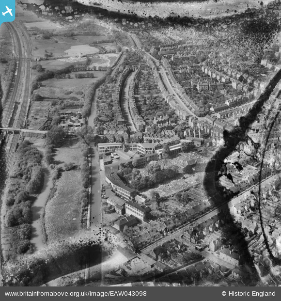
EAW043098 ENGLAND (1952). The Eagle Ironworks, Southmoor Road, Kingston Road and environs, Oxford, 1952. This image has been produced from a damaged negative.
© Hawlfraint cyfranwyr OpenStreetMap a thrwyddedwyd gan yr OpenStreetMap Foundation. 2026. Trwyddedir y gartograffeg fel CC BY-SA.
Delweddau cyfagos (5)
EAW043098

EAW043099

EAW043095

EAW043096

EAW043097

Manylion
| Pennawd | [EAW043098] The Eagle Ironworks, Southmoor Road, Kingston Road and environs, Oxford, 1952. This image has been produced from a damaged negative. |
| Cyfeirnod | EAW043098 |
| Dyddiad | 17-May-1952 |
| Dolen | |
| Enw lle | OXFORD |
| Plwyf | |
| Ardal | |
| Gwlad | ENGLAND |
| Dwyreiniad / Gogleddiad | 450477, 207268 |
| Hydred / Lledred | -1.2685331824876, 51.761365043356 |
| Cyfeirnod Grid Cenedlaethol | SP505073 |
Pinnau

Michael Ward |
Sunday 5th of February 2017 05:05:25 PM |