
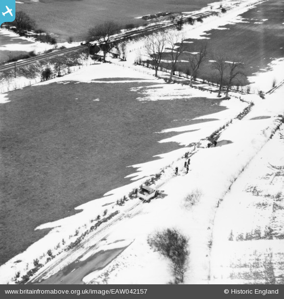
EAW042157 ENGLAND (1952). A snow covered A345 (now A346) south of Gipsy Lane, Ogbourne St George, 1952
© Hawlfraint cyfranwyr OpenStreetMap a thrwyddedwyd gan yr OpenStreetMap Foundation. 2026. Trwyddedir y gartograffeg fel CC BY-SA.
Delweddau cyfagos (2)
EAW042157
 south of Gipsy Lane, Ogbourne St George, 1952")
EAW042165
 south of Gipsy Lane, Ogbourne St George, 1952. This image has been produced from a damaged negative.")
Manylion
| Pennawd | [EAW042157] A snow covered A345 (now A346) south of Gipsy Lane, Ogbourne St George, 1952 |
| Cyfeirnod | EAW042157 |
| Dyddiad | 31-March-1952 |
| Dolen | |
| Enw lle | OGBOURNE ST GEORGE |
| Plwyf | OGBOURNE ST. GEORGE |
| Ardal | |
| Gwlad | ENGLAND |
| Dwyreiniad / Gogleddiad | 419821, 176555 |
| Hydred / Lledred | -1.7145000735374, 51.487112342025 |
| Cyfeirnod Grid Cenedlaethol | SU198766 |
Pinnau

Billy Turner |
Thursday 14th of January 2016 05:51:33 PM |