
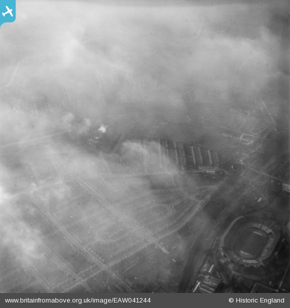
EAW041244 ENGLAND (1951). Fog over Wembley Stadium and the residential area around St Michael's Avenue, Tokyngton, 1951
© Hawlfraint cyfranwyr OpenStreetMap a thrwyddedwyd gan yr OpenStreetMap Foundation. 2026. Trwyddedir y gartograffeg fel CC BY-SA.
Delweddau cyfagos (3)
EAW041244

EPW041904

EPW056447

Manylion
| Pennawd | [EAW041244] Fog over Wembley Stadium and the residential area around St Michael's Avenue, Tokyngton, 1951 |
| Cyfeirnod | EAW041244 |
| Dyddiad | 14-November-1951 |
| Dolen | |
| Enw lle | TOKYNGTON |
| Plwyf | |
| Ardal | |
| Gwlad | ENGLAND |
| Dwyreiniad / Gogleddiad | 518979, 184825 |
| Hydred / Lledred | -0.28384604686273, 51.549277371168 |
| Cyfeirnod Grid Cenedlaethol | TQ190848 |
Pinnau
Byddwch y cyntaf i ychwanegu sylw at y ddelwedd hon!