
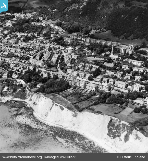
EAW038591 ENGLAND (1951). The Undercliff and the town, Ventnor, 1951. This image has been produced from a print.
© Hawlfraint cyfranwyr OpenStreetMap a thrwyddedwyd gan yr OpenStreetMap Foundation. 2026. Trwyddedir y gartograffeg fel CC BY-SA.
Delweddau cyfagos (5)
EAW038591

EPW000500

EAW038590

EPW039655

EPW043011

Manylion
| Pennawd | [EAW038591] The Undercliff and the town, Ventnor, 1951. This image has been produced from a print. |
| Cyfeirnod | EAW038591 |
| Dyddiad | 13-August-1951 |
| Dolen | |
| Enw lle | VENTNOR |
| Plwyf | VENTNOR |
| Ardal | |
| Gwlad | ENGLAND |
| Dwyreiniad / Gogleddiad | 456988, 77702 |
| Hydred / Lledred | -1.1947488309492, 50.595670860989 |
| Cyfeirnod Grid Cenedlaethol | SZ570777 |
Pinnau
Byddwch y cyntaf i ychwanegu sylw at y ddelwedd hon!