
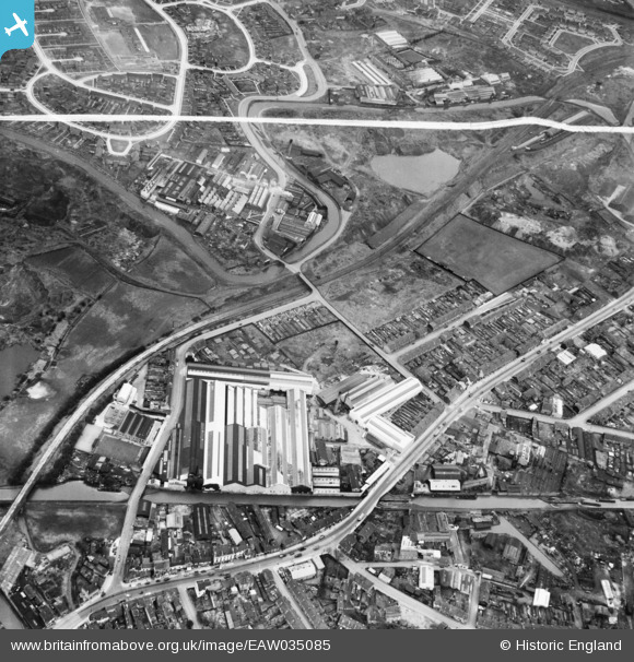
EAW035085 ENGLAND (1951). Great Bridge Street and environs, Tipton, 1951. This image was marked by Aerofilms Ltd for photo editing.
© Hawlfraint cyfranwyr OpenStreetMap a thrwyddedwyd gan yr OpenStreetMap Foundation. 2026. Trwyddedir y gartograffeg fel CC BY-SA.
Delweddau cyfagos (17)
EAW035085

 0°
0m
0°
0m
EAW035089
 235°
29m
235°
29m
EAW035083
 206°
77m
206°
77m
EAW035084
 229°
86m
229°
86m
EAW035092
 261°
90m
261°
90m
EAW035091
 250°
91m
250°
91m
EAW035088
 233°
170m
233°
170m
EAW035090
 145°
179m
145°
179m
EAW035081
 178°
185m
178°
185m
EAW035077
 247°
193m
247°
193m
EAW035086
 240°
193m
240°
193m
EAW035076
 265°
195m
265°
195m
EAW035078
 249°
198m
249°
198m
EAW035079
 266°
207m
266°
207m
EAW035080
 263°
212m
263°
212m
EAW035087
 270°
241m
270°
241m
EAW035082
 176°
242m
176°
242m
Manylion
| Pennawd | [EAW035085] Great Bridge Street and environs, Tipton, 1951. This image was marked by Aerofilms Ltd for photo editing. |
| Cyfeirnod | EAW035085 |
| Dyddiad | 21-March-1951 |
| Dolen | |
| Enw lle | TIPTON |
| Plwyf | |
| Ardal | |
| Gwlad | ENGLAND |
| Dwyreiniad / Gogleddiad | 398259, 292542 |
| Hydred / Lledred | -2.0256672068156, 52.530380522475 |
| Cyfeirnod Grid Cenedlaethol | SO983925 |
Pinnau
 Top Beehive Pub, Brickhouse Lane. Top Beehive Pub, Brickhouse Lane. |

DaveT |
Thursday 4th of June 2026 01:45:07 PM |
| Bottom Beehive Pub |
DaveT |
Thursday 4th of June 2026 01:44:26 PM |
| Harvills Hawthorn Junior School |
DaveT |
Tuesday 2nd of June 2026 02:36:29 PM |
| Harvills Hawthorn Infant School |
DaveT |
Tuesday 2nd of June 2026 02:35:37 PM |
| St Vincent Crescent shops under construction. In the 1970's, there was Pete the Greengrocer's, the Butcher's, a fish and chip shop, a hairdressing salon, Balls (later Pender's) the convenience store, the newsagents, Betty's (wife of Pete) the wool, sewing and knitwear shop, the cobbler's shop and then the doctor's. The shops were all demolished in 2015, with eight new houses built on the site in 2025. |
DaveT |
Tuesday 2nd of June 2026 02:33:48 PM |
| York Crescent |
Rob |
Tuesday 31st of December 2024 01:37:43 PM |
| Britannia Inn, Dial Lane before rebuilding in the 1960's.
|
DaveT |
Thursday 23rd of April 2015 04:41:57 PM |
| Wednesbury Old Canal |
Dave Roberts |
Thursday 31st of July 2014 05:09:19 PM |