
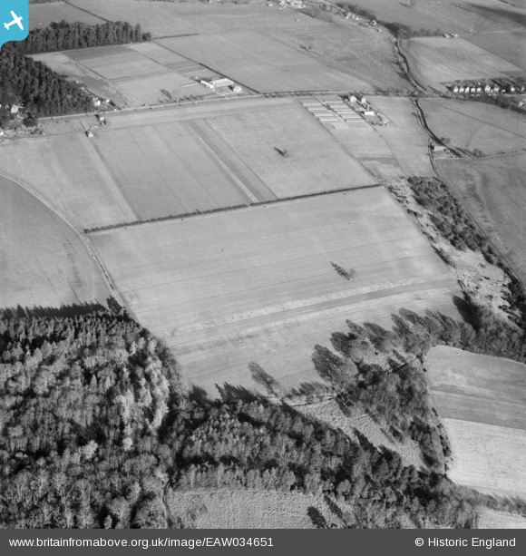
EAW034651 ENGLAND (1951). The site of the Canford Park Events Arena, Canford Park, 1951
© Hawlfraint cyfranwyr OpenStreetMap a thrwyddedwyd gan yr OpenStreetMap Foundation. 2025. Trwyddedir y gartograffeg fel CC BY-SA.
Delweddau cyfagos (4)
EAW034651

EAW034648

EAW034649

EAW034650

Manylion
| Pennawd | [EAW034651] The site of the Canford Park Events Arena, Canford Park, 1951 |
| Cyfeirnod | EAW034651 |
| Dyddiad | 12-February-1951 |
| Dolen | |
| Enw lle | CANFORD PARK |
| Plwyf | |
| Ardal | |
| Gwlad | ENGLAND |
| Dwyreiniad / Gogleddiad | 403911, 97047 |
| Hydred / Lledred | -1.9445291811159, 50.772425089509 |
| Cyfeirnod Grid Cenedlaethol | SZ039970 |
Pinnau

Class31 |
Friday 15th of August 2014 04:56:42 PM | |
|
Class31 |
Wednesday 28th of May 2014 04:00:51 PM | |
|
Class31 |
Wednesday 28th of May 2014 03:48:17 PM | |
|
Class31 |
Wednesday 28th of May 2014 03:46:40 PM | |
|
Class31 |
Wednesday 21st of May 2014 08:07:14 AM | |
Poole and Bournemouth |
Class31 |
Wednesday 28th of May 2014 03:47:52 PM |
|
Class31 |
Wednesday 21st of May 2014 07:22:10 AM |

Cyfraniadau Grŵp
EAW034647 to EAW034657 cover the same area and were taken the same day. |
Class31 |
Friday 27th of June 2014 05:04:03 PM |
Thanks for the pins, we'll update the catalogue and post the new location data here in due course. Yours, Katy Britain from Above Cataloguing Team Leader |
Katy Whitaker |
Friday 27th of June 2014 05:04:03 PM |