
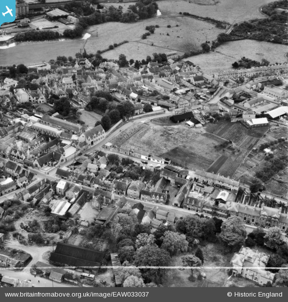
EAW033037 ENGLAND (1950). West Street, Scotgate and environs, Stamford, 1950. This image was marked by Aerofilms Ltd for photo editing.
© Hawlfraint cyfranwyr OpenStreetMap a thrwyddedwyd gan yr OpenStreetMap Foundation. 2026. Trwyddedir y gartograffeg fel CC BY-SA.
Delweddau cyfagos (20)
EAW033037

EAW033036

EAW033031

EAW033032

EAW033035

EAW033034

EAW033038

EAW033039

EAW033040

EAW033033

EAW043853

EAW043858

EAW043855

EAW033045

EAW033046

EAW043854

EAW043851

EAW043852

EAW043857

EAW043856

Manylion
| Pennawd | [EAW033037] West Street, Scotgate and environs, Stamford, 1950. This image was marked by Aerofilms Ltd for photo editing. |
| Cyfeirnod | EAW033037 |
| Dyddiad | 3-October-1950 |
| Dolen | |
| Enw lle | STAMFORD |
| Plwyf | STAMFORD |
| Ardal | |
| Gwlad | ENGLAND |
| Dwyreiniad / Gogleddiad | 502573, 307144 |
| Hydred / Lledred | -0.48354940968443, 52.651964636319 |
| Cyfeirnod Grid Cenedlaethol | TF026071 |
Pinnau

Matt Aldred edob.mattaldred.com |
Wednesday 6th of March 2024 07:14:43 PM |