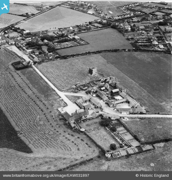
EAW031897 ENGLAND (1950). Abbey Farm and the ruins of St Andrew's Priory, Broomholm, 1950
    © Hawlfraint cyfranwyr OpenStreetMap a thrwyddedwyd gan yr OpenStreetMap Foundation. 2025. Trwyddedir y gartograffeg fel CC BY-SA.
  
Manylion
| Pennawd | [EAW031897] Abbey Farm and the ruins of St Andrew's Priory, Broomholm, 1950 | 
| Cyfeirnod | EAW031897 | 
| Dyddiad | 14-August-1950 | 
| Dolen | |
| Enw lle | BROOMHOLM | 
| Plwyf | BACTON | 
| Ardal | |
| Gwlad | ENGLAND | 
| Dwyreiniad / Gogleddiad | 634717, 333253 | 
| Hydred / Lledred | 1.4859428471143, 52.845211608001 | 
| Cyfeirnod Grid Cenedlaethol | TG347333 | 
Pinnau
Byddwch y cyntaf i ychwanegu sylw at y ddelwedd hon!
 
             
  ![[EAW031897] Abbey Farm and the ruins of St Andrew's Priory, Broomholm, 1950](http://britainfromabove.org.uk/sites/all/libraries/aerofilms-images/public/100x100/EAW/031/EAW031897.jpg) 
  
                                          ![[EAW031894] Abbey Farm and the ruins of St Andrew's Priory, Broomholm, 1950](http://britainfromabove.org.uk/sites/all/libraries/aerofilms-images/public/100x100/EAW/031/EAW031894.jpg) 
 ![[EAW031896] Abbey Farm and the ruins of St Andrew's Priory, Broomholm, 1950](http://britainfromabove.org.uk/sites/all/libraries/aerofilms-images/public/100x100/EAW/031/EAW031896.jpg) 
 ![[EAW031895] Abbey Farm and the ruins of St Andrew's Priory, Broomholm, 1950](http://britainfromabove.org.uk/sites/all/libraries/aerofilms-images/public/100x100/EAW/031/EAW031895.jpg)