
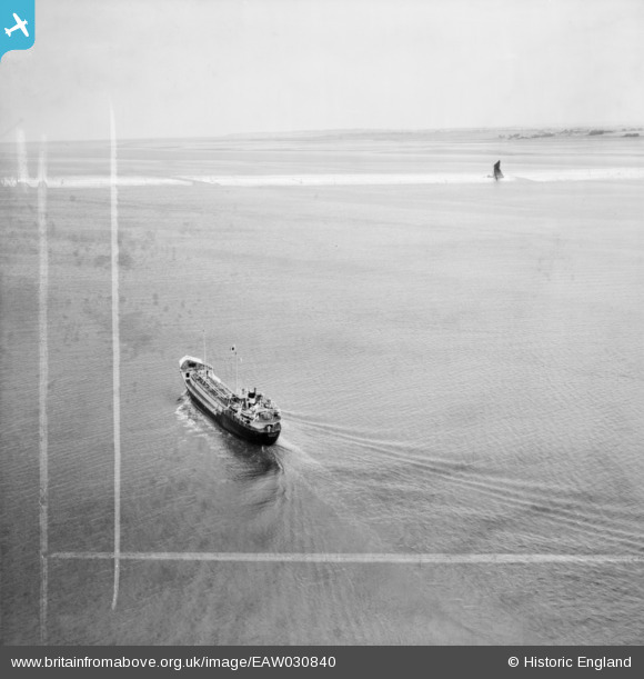
EAW030840 ENGLAND (1950). The Hunting and Son Ltd tanker Redefield to the south of Canvey Island, Halstow Marshes, 1950. This image was marked by Aerofilms Ltd for photo editing.
© Hawlfraint cyfranwyr OpenStreetMap a thrwyddedwyd gan yr OpenStreetMap Foundation. 2026. Trwyddedir y gartograffeg fel CC BY-SA.
Delweddau cyfagos (11)
EAW030840

EAW030841

EAW030843

EAW030842

EAW030839

EAW030845

EAW030847

EAW030838

EAW030849

EAW030848

EAW030844

Manylion
| Pennawd | [EAW030840] The Hunting and Son Ltd tanker Redefield to the south of Canvey Island, Halstow Marshes, 1950. This image was marked by Aerofilms Ltd for photo editing. |
| Cyfeirnod | EAW030840 |
| Dyddiad | 12-July-1950 |
| Dolen | |
| Enw lle | HALSTOW MARSHES |
| Plwyf | HIGH HALSTOW |
| Ardal | |
| Gwlad | ENGLAND |
| Dwyreiniad / Gogleddiad | 579123, 181038 |
| Hydred / Lledred | 0.58095733554377, 51.499372362468 |
| Cyfeirnod Grid Cenedlaethol | TQ791810 |
Pinnau

Kentishman |
Saturday 27th of June 2015 05:43:45 PM |