
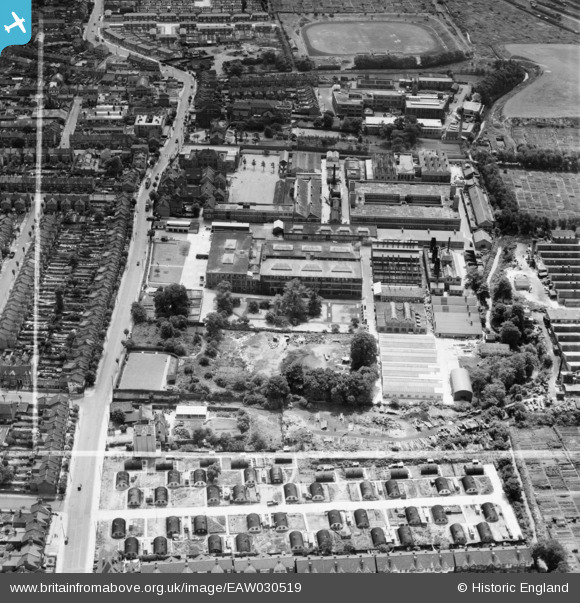
EAW030519 ENGLAND (1950). The London Electric Wire Co and Smiths Works, Leyton, 1950. This image was marked by Aerofilms Ltd for photo editing.
© Hawlfraint cyfranwyr OpenStreetMap a thrwyddedwyd gan yr OpenStreetMap Foundation. 2026. Trwyddedir y gartograffeg fel CC BY-SA.
Delweddau cyfagos (25)
EAW030519

EAW030517

EPW008351

EAW030523

EAW030522

EAW030520

EPW016677

EPW008513

EAW030525

EAW030524

EPW016682

EPW008515

EPW008514

EAW030516

EPW008516

EPW016680

EAW030521

EPW016676

EPW016675

EPW016681

EAW030518

EPW008518

EPW016679

EPW016685

EPW016683

Manylion
| Pennawd | [EAW030519] The London Electric Wire Co and Smiths Works, Leyton, 1950. This image was marked by Aerofilms Ltd for photo editing. |
| Cyfeirnod | EAW030519 |
| Dyddiad | 26-June-1950 |
| Dolen | |
| Enw lle | LEYTON |
| Plwyf | |
| Ardal | |
| Gwlad | ENGLAND |
| Dwyreiniad / Gogleddiad | 537103, 187197 |
| Hydred / Lledred | -0.021656859316452, 51.566481472293 |
| Cyfeirnod Grid Cenedlaethol | TQ371872 |
Pinnau

Post-war prefabs |
Tuesday 13th of October 2020 02:58:59 PM | |
|
Post-war prefabs |
Tuesday 13th of October 2020 02:56:12 PM | |
I think this road of Nissen Huts was known as Church Close. See https://maps.nls.uk/geo/explore/side-by-side/#zoom=18&lat=51.56864&lon=-0.02512&layers=173&right=osm and London Post Offices & Streets HMSO 1950. Buckingham Road is further south and you can see a group of Prefabs there known as Coronation Gardens on the above map. |
Bruce |
Thursday 8th of April 2021 10:04:50 AM |

Sparky |
Monday 4th of September 2017 06:24:42 PM |