
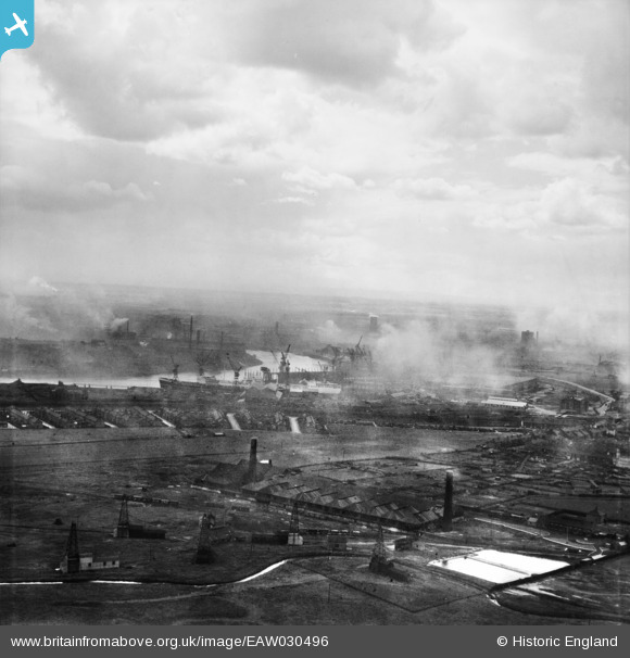
EAW030496 ENGLAND (1950). High Clarence and the River Tees, Billingham, from the north-east, 1950
© Hawlfraint cyfranwyr OpenStreetMap a thrwyddedwyd gan yr OpenStreetMap Foundation. 2025. Trwyddedir y gartograffeg fel CC BY-SA.
Delweddau cyfagos (3)
EAW030496

EAW032534

EAW032535

Manylion
| Pennawd | [EAW030496] High Clarence and the River Tees, Billingham, from the north-east, 1950 |
| Cyfeirnod | EAW030496 |
| Dyddiad | 23-June-1950 |
| Dolen | |
| Enw lle | BILLINGHAM |
| Plwyf | BILLINGHAM |
| Ardal | |
| Gwlad | ENGLAND |
| Dwyreiniad / Gogleddiad | 449415, 522516 |
| Hydred / Lledred | -1.2351082813531, 54.595287785524 |
| Cyfeirnod Grid Cenedlaethol | NZ494225 |
Pinnau

J May |
Monday 11th of January 2021 02:31:55 PM | |
|
J May |
Monday 11th of January 2021 02:31:16 PM | |
|
J May |
Monday 11th of January 2021 02:30:02 PM | |
|
J May |
Monday 11th of January 2021 02:28:47 PM | |
|
J May |
Monday 11th of January 2021 02:28:19 PM | |
|
J May |
Monday 11th of January 2021 02:27:19 PM |