
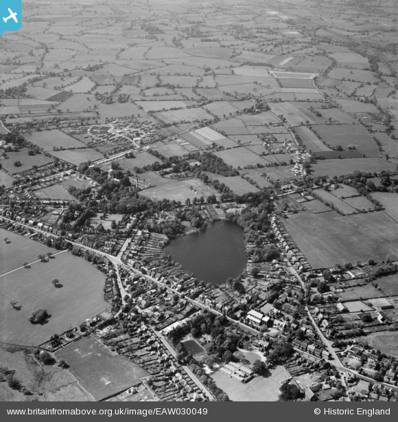
EAW030049 ENGLAND (1950). The Mere and environs, Alsager, 1950
© Hawlfraint cyfranwyr OpenStreetMap a thrwyddedwyd gan yr OpenStreetMap Foundation. 2025. Trwyddedir y gartograffeg fel CC BY-SA.
Delweddau cyfagos (2)
EAW030049

EAW030048

Manylion
| Pennawd | [EAW030049] The Mere and environs, Alsager, 1950 |
| Cyfeirnod | EAW030049 |
| Dyddiad | 1-June-1950 |
| Dolen | |
| Enw lle | ALSAGER |
| Plwyf | ALSAGER |
| Ardal | |
| Gwlad | ENGLAND |
| Dwyreiniad / Gogleddiad | 379106, 355743 |
| Hydred / Lledred | -2.3120766947464, 53.098182764494 |
| Cyfeirnod Grid Cenedlaethol | SJ791557 |
Pinnau

Sidecar Steve |
Wednesday 12th of November 2014 11:40:10 PM | |
|
A John |
Wednesday 4th of June 2014 07:06:38 PM |