
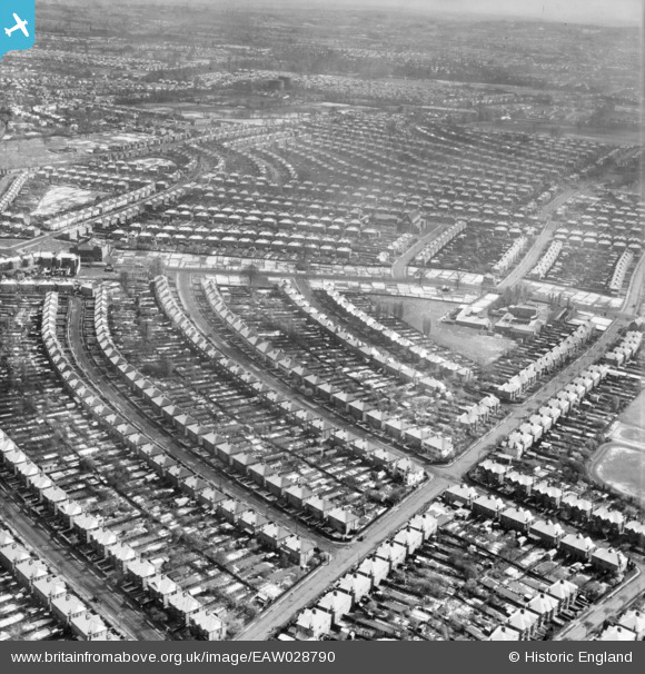
EAW028790 ENGLAND (1950). The residential area at Belmont in the snow, Stanmore, 1950
© Hawlfraint cyfranwyr OpenStreetMap a thrwyddedwyd gan yr OpenStreetMap Foundation. 2026. Trwyddedir y gartograffeg fel CC BY-SA.
Delweddau cyfagos (2)
EAW028790

EAW028789

Manylion
| Pennawd | [EAW028790] The residential area at Belmont in the snow, Stanmore, 1950 |
| Cyfeirnod | EAW028790 |
| Dyddiad | 25-April-1950 |
| Dolen | |
| Enw lle | STANMORE |
| Plwyf | |
| Ardal | |
| Gwlad | ENGLAND |
| Dwyreiniad / Gogleddiad | 516697, 190217 |
| Hydred / Lledred | -0.31495459135023, 51.598220065737 |
| Cyfeirnod Grid Cenedlaethol | TQ167902 |
Pinnau

Mark Amies |
Tuesday 2nd of December 2025 09:19:47 AM | |
|
John Crippen |
Sunday 5th of January 2020 11:13:08 PM | |
|
John Crippen |
Sunday 5th of January 2020 10:58:13 PM | |
|
lym |
Sunday 26th of August 2018 03:44:28 PM | |
|
The Laird |
Sunday 11th of February 2018 10:29:27 PM | |
|
nickdrew |
Wednesday 17th of December 2014 02:44:02 AM | |
|
Ian K |
Thursday 20th of February 2014 01:49:28 PM | |
|
Ian K |
Thursday 20th of February 2014 01:48:41 PM | |
|
Ian K |
Thursday 20th of February 2014 01:47:28 PM | |
|
Ian K |
Thursday 20th of February 2014 01:46:34 PM | |
|
Ian K |
Thursday 20th of February 2014 01:45:10 PM | |
|
Ian K |
Thursday 20th of February 2014 01:43:37 PM | |
|
Ian K |
Thursday 20th of February 2014 01:42:55 PM |