
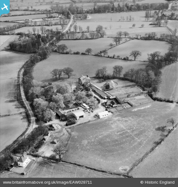
EAW028711 ENGLAND (1950). Stondon Massey House and Farm, Stondon Massey, 1950
© Hawlfraint cyfranwyr OpenStreetMap a thrwyddedwyd gan yr OpenStreetMap Foundation. 2025. Trwyddedir y gartograffeg fel CC BY-SA.
Delweddau cyfagos (5)
EAW028711

EAW028708

EAW028710

EAW028709

EAW028712

Manylion
| Pennawd | [EAW028711] Stondon Massey House and Farm, Stondon Massey, 1950 |
| Cyfeirnod | EAW028711 |
| Dyddiad | 20-April-1950 |
| Dolen | |
| Enw lle | STONDON MASSEY |
| Plwyf | STONDON MASSEY |
| Ardal | |
| Gwlad | ENGLAND |
| Dwyreiniad / Gogleddiad | 557393, 201118 |
| Hydred / Lledred | 0.2771444272139, 51.686266417147 |
| Cyfeirnod Grid Cenedlaethol | TL574011 |
Pinnau

totoro |
Wednesday 4th of January 2017 10:34:39 PM | |
|
totoro |
Wednesday 4th of January 2017 10:09:52 PM | |
|
totoro |
Wednesday 4th of January 2017 10:04:21 PM | |
|
totoro |
Wednesday 4th of January 2017 10:02:19 PM |