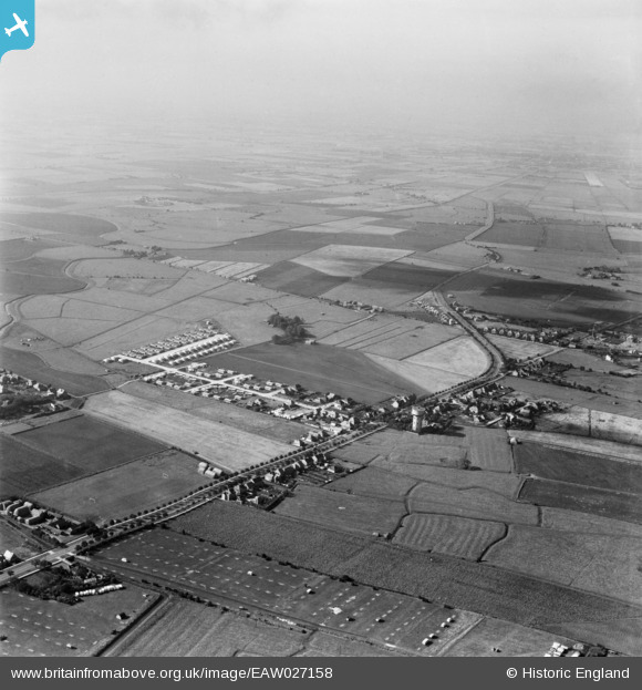
EAW027158 ENGLAND (1949). Burgh Road, Lyndhurst Avenue and the surrounding area, Skegness, from the north-east, 1949
    © Hawlfraint cyfranwyr OpenStreetMap a thrwyddedwyd gan yr OpenStreetMap Foundation. 2025. Trwyddedir y gartograffeg fel CC BY-SA.
  
Manylion
| Pennawd | [EAW027158] Burgh Road, Lyndhurst Avenue and the surrounding area, Skegness, from the north-east, 1949 | 
| Cyfeirnod | EAW027158 | 
| Dyddiad | 12-October-1949 | 
| Dolen | |
| Enw lle | SKEGNESS | 
| Plwyf | SKEGNESS | 
| Ardal | |
| Gwlad | ENGLAND | 
| Dwyreiniad / Gogleddiad | 556005, 364316 | 
| Hydred / Lledred | 0.33325346732022, 53.152805703371 | 
| Cyfeirnod Grid Cenedlaethol | TF560643 | 
Pinnau
|  What later became Jackson's caravan site and now is called Highfields before the house/office was built and before the dyke that runs under Burgh road and alongside the site was filled in. When owner Paul Jackson died in 2015 the site had about 200 caravans |   Ilkestonian | Tuesday 30th of April 2019 11:14:09 PM | 
 
             
  ![[EAW027158] Burgh Road, Lyndhurst Avenue and the surrounding area, Skegness, from the north-east, 1949](http://britainfromabove.org.uk/sites/all/libraries/aerofilms-images/public/100x100/EAW/027/EAW027158.jpg) 
  
                                          ![[EAW027161] Burgh Road, Lyndhurst Avenue and the surrounding area, Skegness, from the east, 1949. This image has been produced from a print.](http://britainfromabove.org.uk/sites/all/libraries/aerofilms-images/public/100x100/EAW/027/EAW027161.jpg) 
 ![[EAW027162] Burgh Road, Lyndhurst Avenue and the surrounding area, Skegness, from the east, 1949. This image has been produced from a print.](http://britainfromabove.org.uk/sites/all/libraries/aerofilms-images/public/100x100/EAW/027/EAW027162.jpg) 
 ![[EAW027159] Burgh Road, Lyndhurst Avenue and the surrounding area, Skegness, from the south-east, 1949](http://britainfromabove.org.uk/sites/all/libraries/aerofilms-images/public/100x100/EAW/027/EAW027159.jpg)